Great ideas! So far we have Google oauth2 but Discord and Slack would be good options, althought It would be nice to have Waze oauth…
At this time we have two bots (one for Telegram Messenger and another for Slack) which can answer commands and send messages. I’ll post more on that in the near future.
I’m working on a feature I’m calling “Team Areas” where it will be possible to setup a user polygon and see the reports for that area. So this together with the bots and webhooks on Discord if what I’m considering so far, but I’ll definately look into the link you sent.
Thanks for the great tools !
Is it possible to have an additional option to hide/filter out the UR/PUR/MP that are not in the editing area from the list.
Although it relies on the user manually panning around livemap to set up their scan area, my old LMUR script gives the user-level control you’re looking for when displaying URs etc over a wider area.
I’m sorry to hear that, but I need your help to fix it.
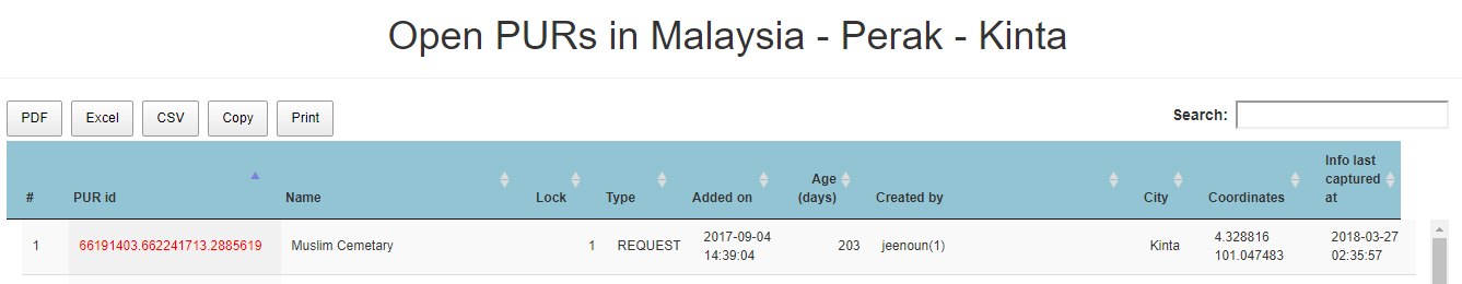
URs come from Waze only with the coordinates (lat + lon) as they appear on WME. In order to localize them in the Country->State->City geo structure I’m using a GIS software loaded with GADM (www.gadm.org) shapefiles. Although GADM files are in general good, they mail be inaccurate in some places. That’s what seems to be happening in your area.
In order to fix it we need to find a more precise shapefile - and that’s the point I need your help. In some countries government agency publish official shapefiles with more accurate borders. If you can point me where o get I’ll be glad to load them on the server to better localize map issues in your area.