Raised it to Waze. This is a validation failure by SDK. More than likely 2 nodes too close together.
Trying to load a Polygon?
In the data we have, some features are Polygons, some features are MultiPolygons. I initially thought that Polygons might be the problem because one of our files that was only MultiPolygons was working, but I managed to disprove that theory.
Nodes too close together seems like a plausible problem but not necessarily easy to solve given that our data is coming from other (government) organisations.
Thanks
Tim
Yes, GPX and KML files related with GPS and Polygon.
MultiPolygon Features should be handled in current version. The Validation is causing the most problems.
Version 2025.03.08.001
Latest update to Geometries Script
Changes Made and Features Added:
- Bugfix for handling “Butterfly” Polygons
Known Issues and Future Work
- Add Support for other Formats like KMZ
- Add Processing of Left Hand Polygons (Points in Clockwise Order). Some 3rd party sources use Left hand Polygons when Specification of GeoJSON requires outer Polygons to be Right Hand (Counter Clockwise Order). Current Example: NSW School Zones
Still having issue loading GPX and KML files related with GPS and Polygon.
1 Like
Can I get access to them?
Sure, will send you on discord.
1 Like
Version 2025.03.09.001
Latest update to Geometries Script
Changes Made and Features Added:
- Processing of Clockwise Polygons.
- Removal of Altitude from GPS Coordinates. (Polygon Not Tested)
@MadanKPradhan @TimAThing Per your requests.
2 Likes
Thanks @Karlsosha. Really appreciate it ![]()
Hello All.
I can’t upload this file. Could anybody check it for me?
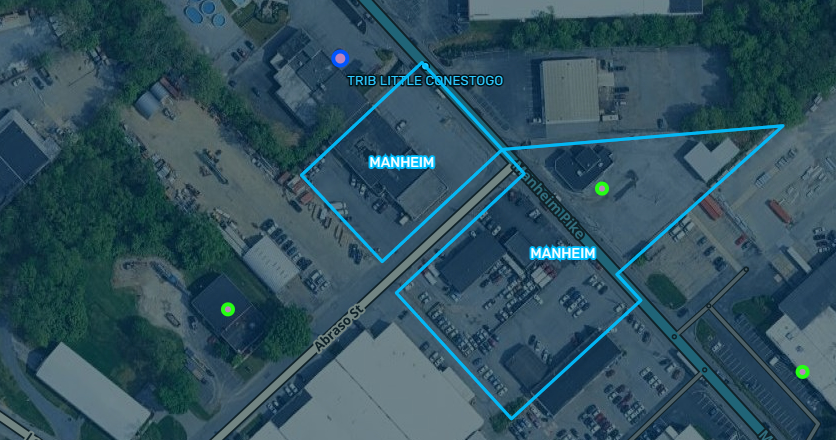
What is that a map of so I can see what it does.
The issue is that current library do not support LonLatBox. I will see if we can get this squared away but at the moment Geometries can’t support this natively.
Here is it https://mapwarper.net/layers/1936#Show_tab
I’ve updated the script to version 2025.04.08.002. The script is designed to use the latest toGeoJson library for KML loading.
This will update as soon as the library is released with fix for @TWBudrys’ issue.
Released latest version of WME Geometries Script: 2025.04.18.001 - Script uses latest toGeoJson (7.1.1) and Turf(7.2.0)
Fixes the issue NetworkLink Tag in KML.
@TWBudrys FYI
Hello! How are you? Can you help me by sending me the download link for WME Geometries? The link in the post doesn’t work.
See you soon.
the script itself
https://update.greasyfork.org/scripts/8129/WME%20Geometries.user.js
the script site on greasyfork
WME Geometries
1 Like
Now it works! Thank u