To our "Sg Map King" Mr. Digitium
First Encounter
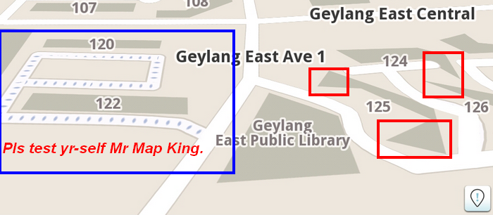
As my previous msg falls on deaf ears, i did said i'll bring it to forum for discussions.
Last month when i first started using Waze, and i was at Orchard that time ... so i turn it on and just wanted to test it.
The first thing puzzles me, the final stretch of cavenagh rd leading to orchard rd had no name.
Only to realize the map is community based and had to be edited by user themselves.
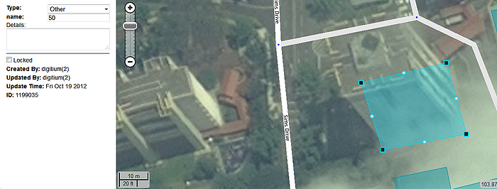
So that's how i started editing but after afew days i noticed my edits of cavenagh rd in front of Holiday Inn which strangely overlapped by CTE was being modified again.
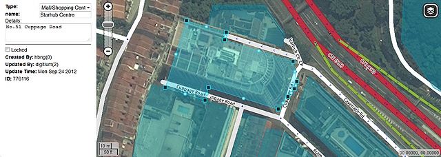
There it was Mr. Digitium and following which the rd beside starhub was also being changed from one to two lanes plus nearby landmarks were all changed too.
I asked myself why did he kept editing again and again !!!!
And it's not getting any better which is bewildering.
http://i28.photobucket.com/albums/c247/ ... enghrd.png
http://i28.photobucket.com/albums/c247/ ... enghrd.png
Why both lanes here leads to Starhub Ctr i ask myself ?
http://i28.photobucket.com/albums/c247/ ... enghrd.png
http://i28.photobucket.com/albums/c247/ ... enghrd.png
http://i28.photobucket.com/albums/c247/ ... enghrd.png
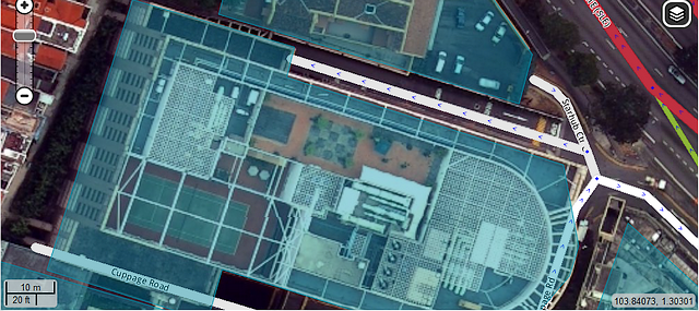
Why is the landmark at different zoom looks so awkward ?
(Right click view image to enlarge) No auto zoom
http://i28.photobucket.com/albums/c247/ ... enghrd.png
http://i28.photobucket.com/albums/c247/ ... enghrd.png
http://i28.photobucket.com/albums/c247/ ... enghrd.png
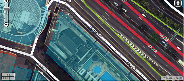
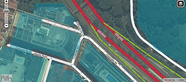
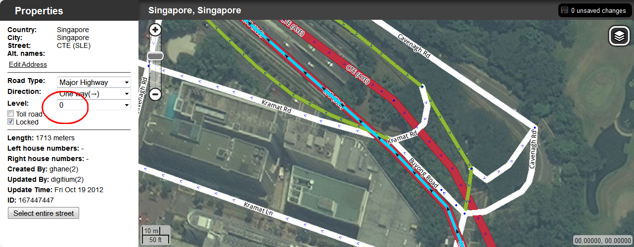
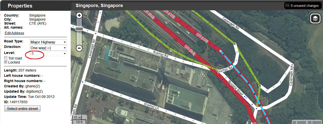
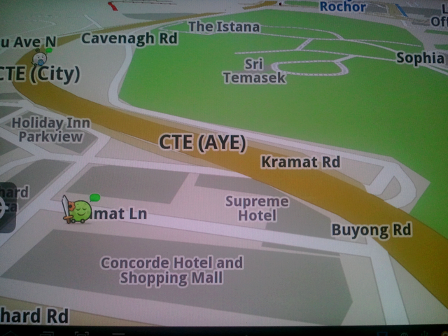
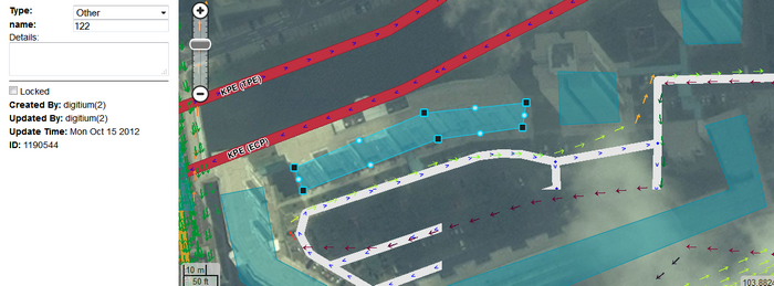
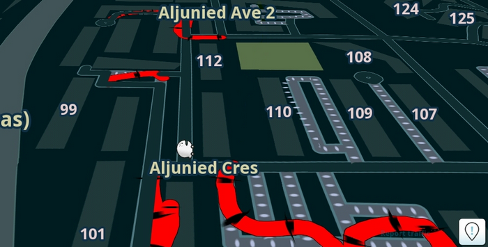
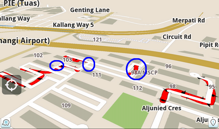
The frequent editing at kramat , buyong and CTE follows, notice the different level in CTE underpass !!!
http://i28.photobucket.com/albums/c247/ ... enghrd.png
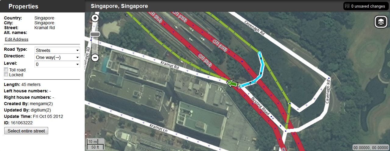
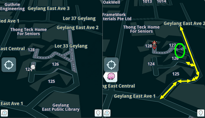
End result of latest updates... a CTE that runs over kramat rd and ferries pax from Supreme Hotel.
As my previous msg falls on deaf ears, i did said i'll bring it to forum for discussions.
Last month when i first started using Waze, and i was at Orchard that time ... so i turn it on and just wanted to test it.
The first thing puzzles me, the final stretch of cavenagh rd leading to orchard rd had no name.
Only to realize the map is community based and had to be edited by user themselves.
So that's how i started editing but after afew days i noticed my edits of cavenagh rd in front of Holiday Inn which strangely overlapped by CTE was being modified again.
There it was Mr. Digitium and following which the rd beside starhub was also being changed from one to two lanes plus nearby landmarks were all changed too.
I asked myself why did he kept editing again and again !!!!
And it's not getting any better which is bewildering.
http://i28.photobucket.com/albums/c247/ ... enghrd.png
http://i28.photobucket.com/albums/c247/ ... enghrd.png
Why both lanes here leads to Starhub Ctr i ask myself ?
http://i28.photobucket.com/albums/c247/ ... enghrd.png
http://i28.photobucket.com/albums/c247/ ... enghrd.png
http://i28.photobucket.com/albums/c247/ ... enghrd.png
Why is the landmark at different zoom looks so awkward ?
(Right click view image to enlarge) No auto zoom
http://i28.photobucket.com/albums/c247/ ... enghrd.png
http://i28.photobucket.com/albums/c247/ ... enghrd.png
http://i28.photobucket.com/albums/c247/ ... enghrd.png
The frequent editing at kramat , buyong and CTE follows, notice the different level in CTE underpass !!!
http://i28.photobucket.com/albums/c247/ ... enghrd.png
End result of latest updates... a CTE that runs over kramat rd and ferries pax from Supreme Hotel.
-
Arachnidriod
- Posts: 12
POSTER_ID:10327587
1
Re: To our "Sg Map King" Mr. Digitium