

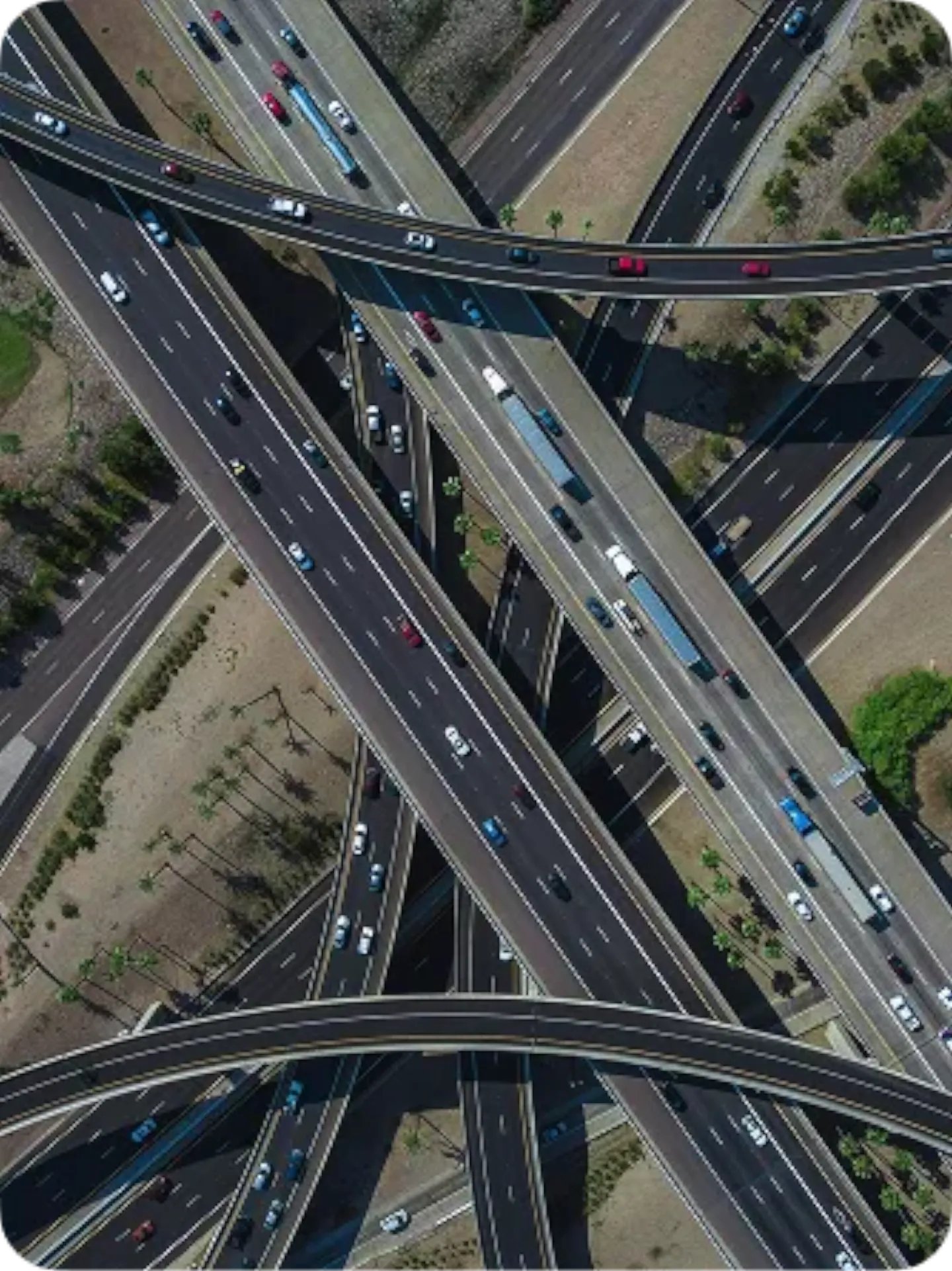


Iberian Lynx
Wildlife Protection
How waze data helps protect the endangered Iberian lynx.


TOGETHER'S HOW WE ROLL
Partner Stories


"If we can work with the information that we get and give to waze, people can be rerouted... the most efficient way between their destination and where their origination was."


"Waze for cities is a great help...in major events. You can see in real time everything that is happening in your city."


"Our partnership with waze for cities has allowed us great connection with a faster decision-making speed, directly impacting our aim to improve the flow for residents."
Partners stories
Iberian Lynx
How waze data helps protect the endangered Iberian lynx.

Belém, Brazil
How waze helped Belém prepare for a sustainable COP30 summit.

CRISIS RESPONSE
How real-time data, community collaboration, and emergency partnerships enhanced crisis response and built long-term resilience during major environmental disasters.

PUBLIC SAFETY
Combining community-driven reporting with real-time navigation technology to deliver critical safety alerts to residents and drivers in Rio de Janeiro.

TRAFFIC MANAGEMENT
How the city of Haifa uses crowdsourced waze data to optimize traffic signal timing and reduce congestion across critical urban intersections.
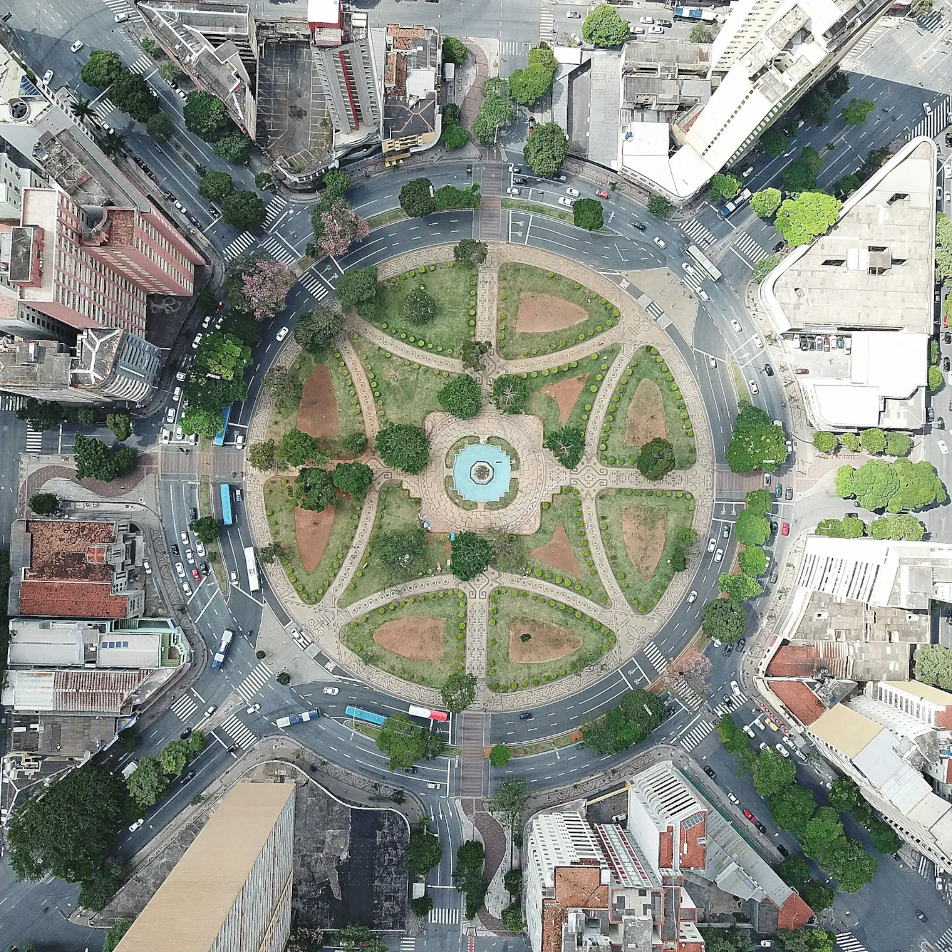
HIGHWAY SAFETY
How the Department of Highways of Minas Gerais uses real-time data to proactively address hazards, optimize road maintenance, and keep drivers informed across a vast state road network.

INCIDENT MANAGEMENT
How the city of Rio de Janeiro leverages community-sourced data to manage complex traffic flow, improve emergency response times, and issue real-time flood warnings.
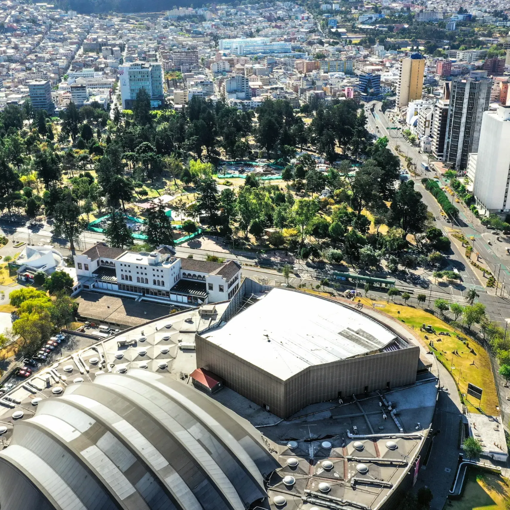
ROAD SAFETY
How the city of Quito leverages community-driven waze data to reduce accidents, address high-risk roadways, and foster a national culture of road safety.
MOBILITY PLANNING
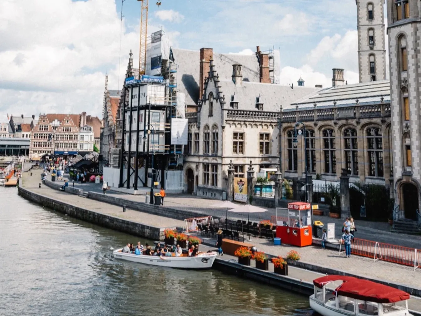
How Ghent executed a groundbreaking circulation plan in partnership with local waze editors to cut city-center traffic by 40%, improve safety, and boost sustainable transit.

CRISIS RELIEF
How the Waze Map Editor Community provided real-time route updates, evacuation support, and shelter navigation during the Taal Volcano eruption in the Philippines.
FIRST RESPONDER TECH
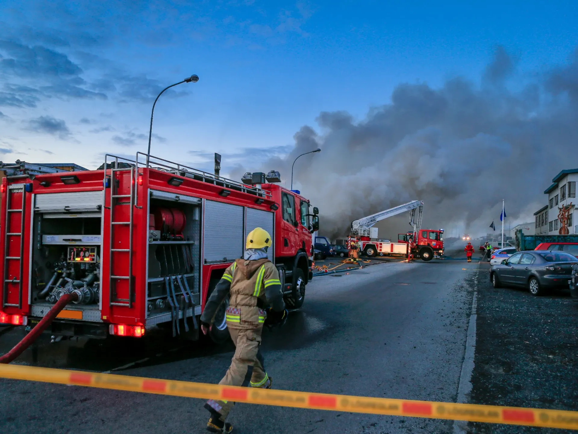
How emergency responders in Chicago and across the country use waze and HAAS Alert’s Safety Cloud service to warn drivers earlier, preventing roadside collisions and protecting first responders.

PREDICTIVE SAFETY
How the Volpe Center and Tennessee Highway Patrol use real-time crowdsourced waze data and machine learning to predict crashes and deploy safety resources proactively.

SMART CITY / TRAFFIC OPTIMIZATION
How the Principality of Monaco leverages waze data to manage 40,000 daily commuters across two square kilometers, optimizing traffic flow and real-time public communication.