Hi,
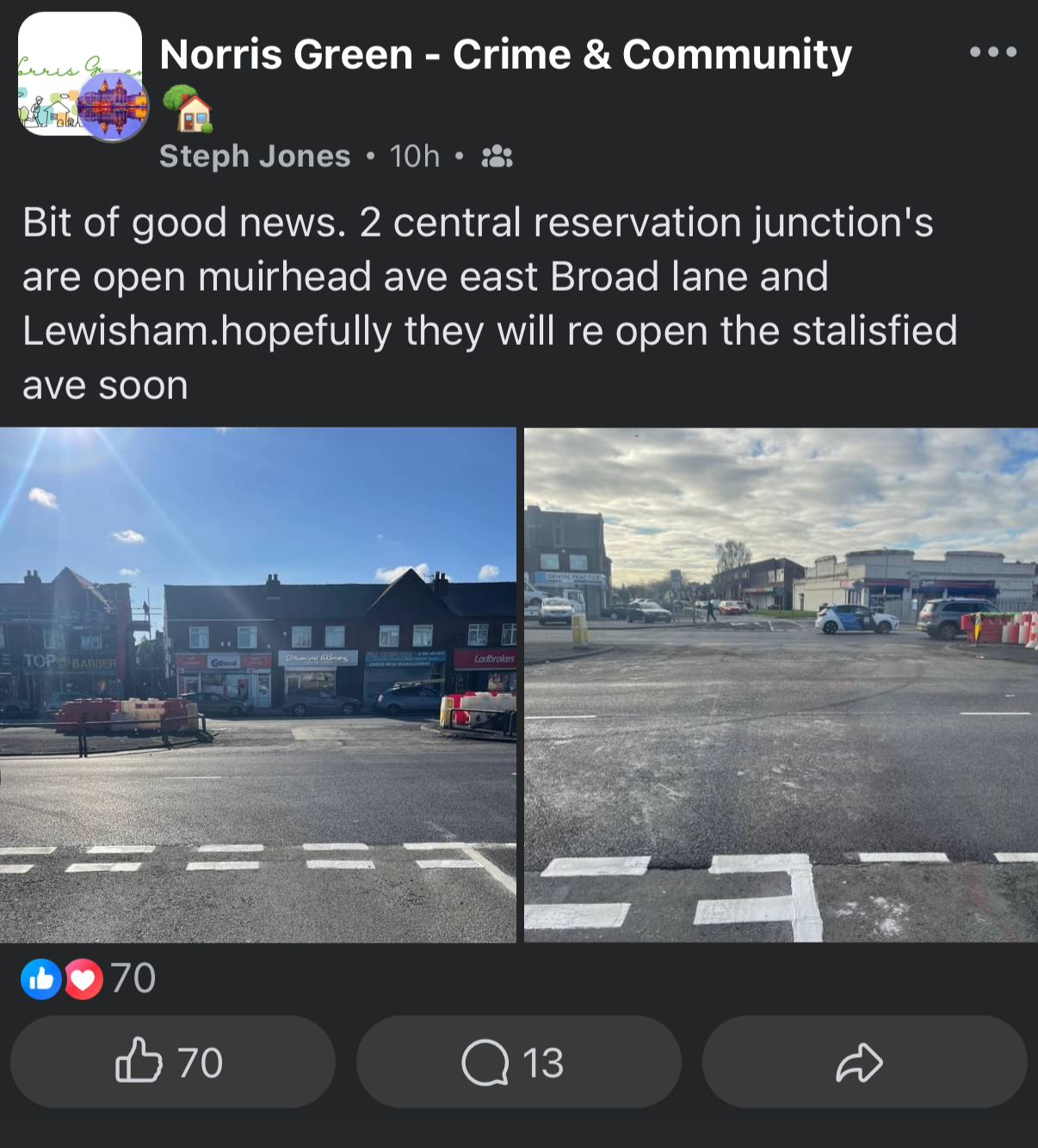
Recently on Muirhead Avenue East in Liverpool, the council decided to close all ‘central reservation’ turns.
Coordinates of effected closed central reservations:
- Junction of Salisfield Avenue/Muirhead Avenue East: 53.440450, -2.909634
- Junction of Lingmell Road/Muirhead Avenue East: 53.439588, -2.911323
- Junction of Lewisham Road/Muirhead Avenue East: 53.438433, -2.913495
- Junction of Broad Lane/Parkside Drive/Muirhead Avenue East: 53.437697, -2.914912
These closures do not appear to be reflected in Waze. I tried to report number 1 earlier today but it appears to have reverted back to being open.
edit: I have tried to add permalinks for each of these locations but I am only able to add up to 2 as I am a new user. I apologise if this post breaks any rules. I am new to the forums and I am trying to follow the posting guidelines for both closed roads and normal posts too.
It has been reported by residents that this will stay closed as part of a One Year trial from the council: