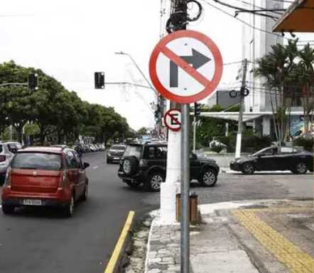
Boa tarde!
Resolvi abrir esse tópico para aqueles causos curiosos no trânsito paraense! :lol:
04/02/2022: [color=#28313f]Defesa Civil de Belém vistoria elevado do Entroncamento após acidente com caminhão
"[/color]O condutor Guilherme Aparecido, que é mineiro e está pela primeira vez em Belém, alegou ter escolhido o percurso com base nas orientações do aplicativo Waze."
Fonte: Agência Belém
- O motorista estava na pista exclusiva do BRT, que nem está mapeada no Waze! :roll:

Abraços.
4 Likes
Bom dia!
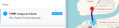
Dia 18 de outubro de 2025 foi inaugurada a Ponte Pastor Firmino Gouveia que liga os Distritos de Icoaraci e Outeiro em Belém.
A atualização no Waze foi em tempo real (após a inauguração foi retirada a interdição da ponte).
Para chegar em Outeiro, partindo de Icoaraci leva menos de 1 minuto usando o
Waze.

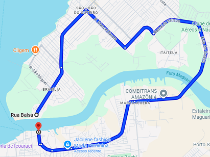
Já utilizando o GMaps: 14 Km em 29 minutos! 

O place da ponte tá lá, mas não tem a via!

5 Likes
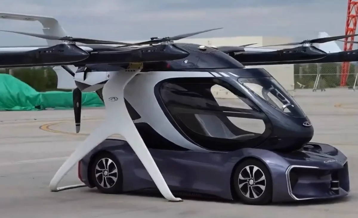
Tem que alterar a opção de rota pra VTOL:
5 Likes
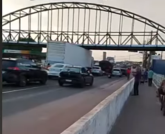
Eis a arte!
“Passarela localizada na Av. Júlio César com o canal São Joaquim em Belém-Pa. Foi instalada na madrugada do dia 24/10/25 e esse acidente foi na tarde do mesmo dia.”
@Lucas_Guerra
Caminhões cegonha precisam descarregar veículos para passar por nova passarela da Júlio César
4 Likes
A COP30 terminou dia 21/11, mas ainda continua com seu “legado”! 
Placa instalada na COP 30 confunde motoristas no cruzamento da Duque de Caxias com Alferes Costa
Fonte: O Liberal
4 Likes