Good morning.
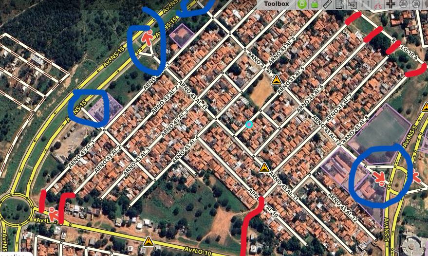
A recurring question here in the city where I live (Palmas/TO) is about shortcuts in the blocks, also known as “gatos”. As many already know, the city is completely planned, mirroring Brasília’s layout, and many of the blocks in the Master Plan only have 1, 2, or 3 entrances. To make it easier to access these blocks and get home faster, many drivers take small shortcuts as a way to avoid long detours.
My question here is whether we can include these segments on maps, since they are roads that are not official and/or registered, and how I should proceed in this case. As an editor here in the city, I do not include them for these reasons, but I have heard ride-share drivers requesting these inclusions to make app trips easier, and I also use these “gatos” myself.
I look forward to hearing your guidance.