Lat: 37.79997° N
Lon: 90.42410° W
This is in Farmington, Missouri (St. Francois County)
The developer changed the name of the private street from “Dogwood Lane” to “Cottonwood Lane” several years ago. It has been updated on the St. Francois County Assessor’s GIS system and in the County’s E911 system. 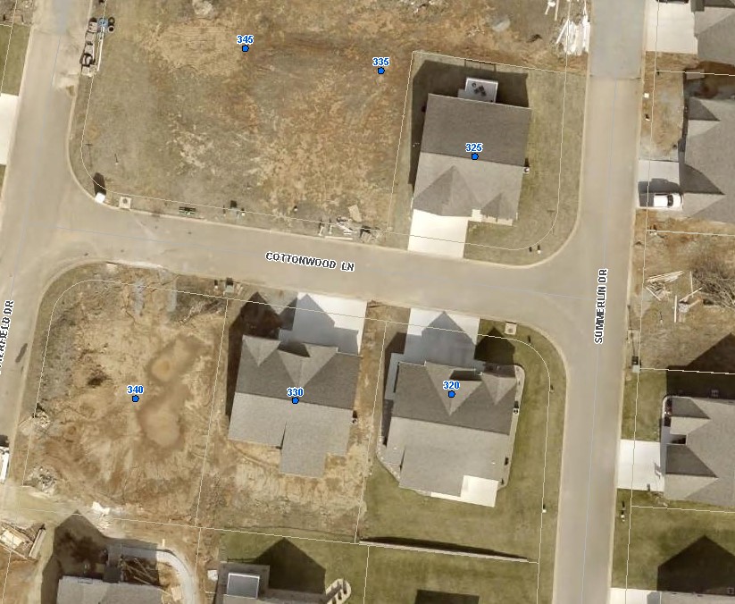
(unavailable attachment: Dogwood and Cottonwood.pdf)