Rockingham Way, Rotherham navigation issues

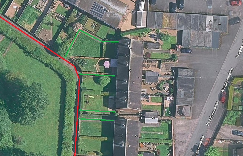
UR reports that 40 Rockingham Way, Rotherham cannot be navigated to as the front door is on a pedestrian only path.
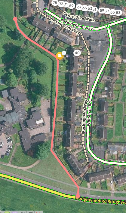
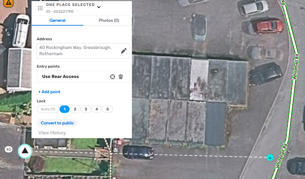
I have created a walking trail hack to hang their house number on but it is only to the rear entrance to the house off Whitehall/Roughwood.
If you can offer some guidance on a better way to do it, I welcome it.

“The house is accessed from Roughwood Road. That’s where the road is, thats where parking is.. takeaways might find us eventually from the front, but it will still mean cold food and the taxis wont find us, so it wouldn’t really fix anything.
Would it be possible to use the hack to add a short distance (the garden?) From the w3w i added above (toward.neon.called)”

https://waze.com/en-GB/editor?env=row&lat=53.45394&lon=-1.38455&zoomLevel=19&segments=464335466,123069479&mapUpdateRequest=24779798

Rockingham Way is this red line, and access to the properties is the green line:

I’d move the path to the other side of the houses

Then any house that wants the user to use the back door, add a Residential Place, and move the Entry point of that residential place onto Whitehall Road, possibly name it “Use Rear Access” to help people navigating there to be reassured they’re going the way the resident prefers. Resident could even take a picture “from the road” to help waze users feel comfortable and confident they’re going the right way.

For the residential POI:

Thanks