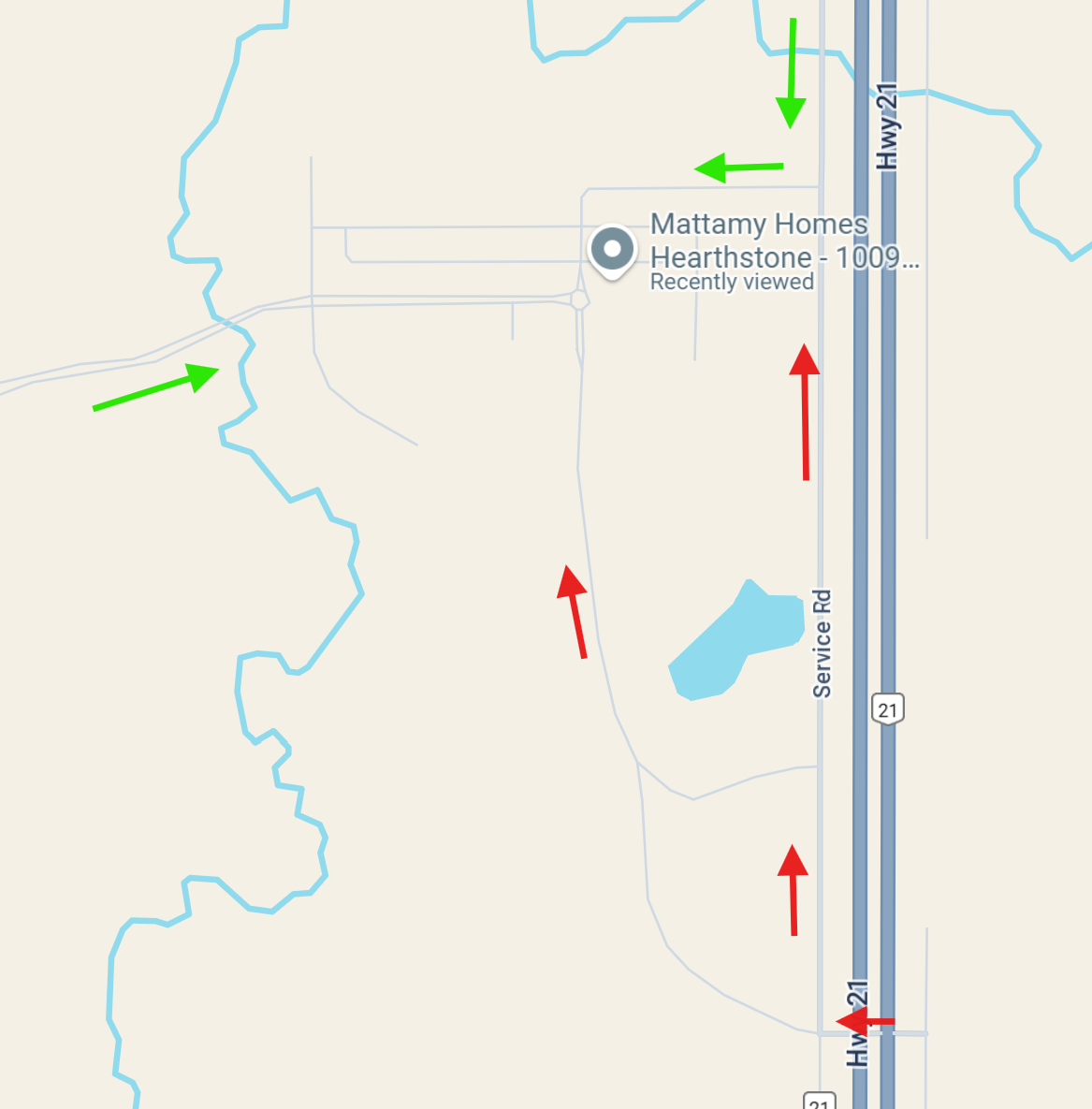
So I work for a community developer, so I know exactly which roads are active and which are not. We have a service road that is half open and half closed, so people can still access the community but only from the top of the road not the bottom. I have been reporting this to Google and sometimes its fixed weeks later for a couple of weeks but eventually it goes back to saying the road is open and directs people through roads that are closed or just mud. This can cause many confused or angry customers coming to visit our homes.
Hi, welcome to the forums.
Can certainly help apply some closures to better routing. Is there a municipality document you can share with the affected streets and duration?
or, can you provide some Waze permalinks? And I can apply closures as they’re prescribed.