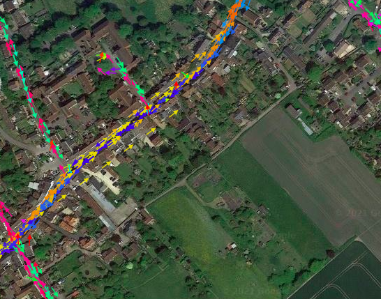
Waze is directing traffic down a bridleway called The Clays. Letter from Wiltshire Council below. Also the Parish Council is going to have bollards fitted to reduce the width to that of a horse.
To whom it may concern,
I write with reference to “The Clays” in Market Lavington, officially recorded as “MLAV24” in the definitive map and statement as a “bridleway”.
The public are entitled to the use and enjoyment of MLAV24 (“The Clays”). Wiltshire Council has a duty under the Highways Act 1980 (Section 130) to ensure usage is legal and may take enforcement action where it is not. Wiltshire Council may also refer misuse to the Police for enforcement under the relevant law.
I wish to draw your attention to the specific legal restrictions attached to MLAV24:
A public right exists for walkers, people riding or leading a horse and cyclists (though cyclists must give way to other users by virtue of the 1968 Countryside Act).
It is an offence under the Road Traffic Act 1988 (Section 34) to drive a mechanically propelled vehicle (MPV) on any road being a footpath, bridleway or restricted byway. The Police have the power to enforce this law. If you drive along any part of MLAV24 by MPV you may be liable to prosecution under Section 34 of the Road Traffic Act 1988.
Any person using the right of way should not interfere with the surface of it and no person should cause damage by their use. Wiltshire Council has powers in the Highways Act to repair damage and recover the costs of doing so.
Unlawful use of MLAV24 by MPVs may be controlled by the erection of barriers (applying the least restrictive access principals outlined in the Equalities Act 2010) under Section 66 of the Highways Act 1980.
The burden of proof for the possession of a “higher right” to use MLAV24 by MPV rests with the person asserting that right. If you do drive along it as a member of the public, you will need to demonstrate your lawful right to do so.
Historic use of a bridleway by MPV would likely not, on its own, constitute the possession of a “higher right” since the usage would have been contrary to the Road Traffic Act 1988 (Section 34) and therefore illegal.
We currently have this mapped as a Private segment, this means Waze will only use it if your destination is along it, this allows the owners of the properties that can be seen with vehicles to access their properties. Turning on the GPS layer of the Waze Map Editor shows no or very limited use by Waze, so it appears that Waze directing traffic down this access is working correctly. This complies with point number 5 on your letter.
Should the council erect physical barriers at any point in the future we will update the mapping to reflect this restriction.