Hi Editors,
[MACHTESH RAMON]
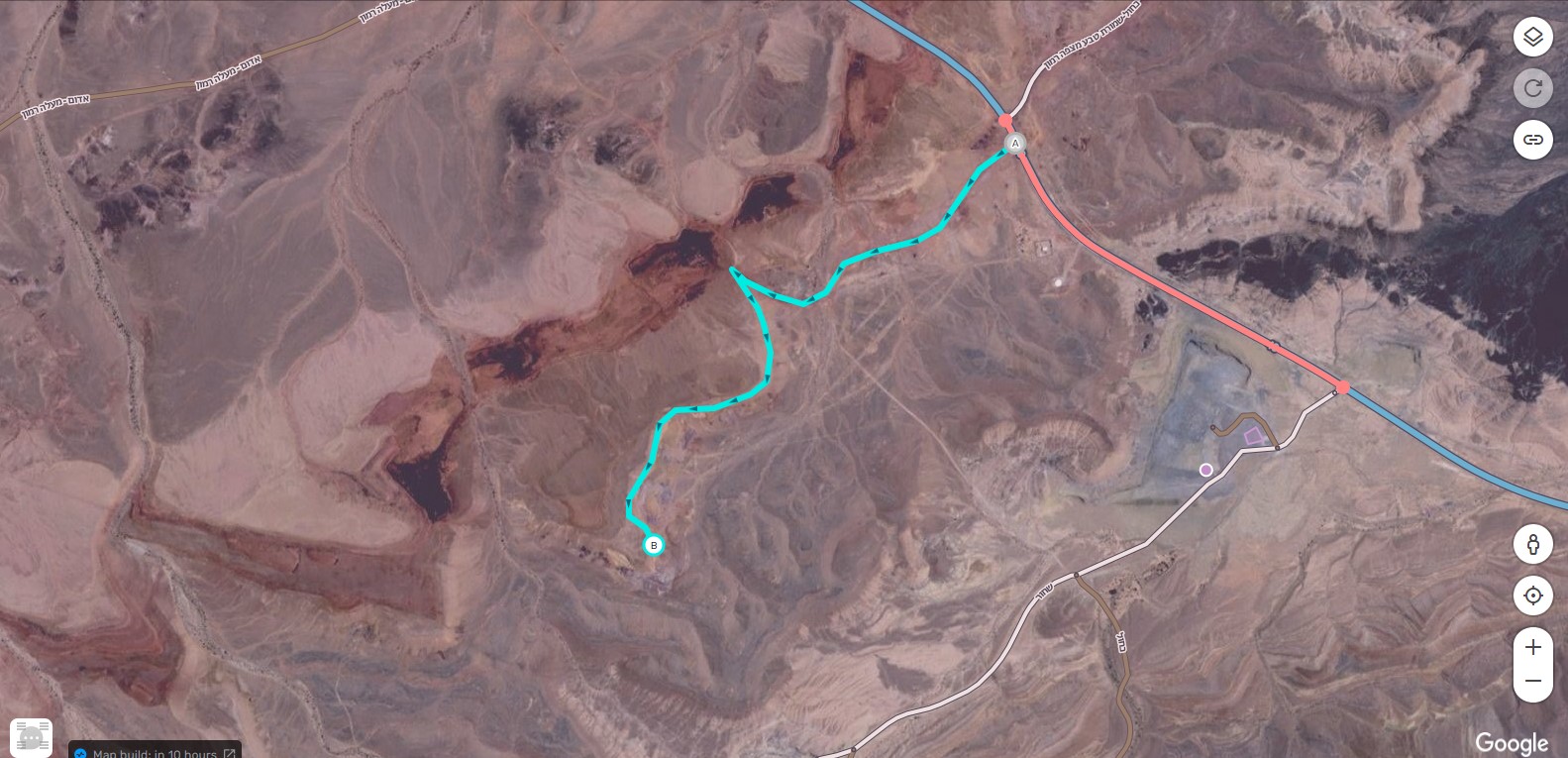
Adding a new good off-road in Mactesh Ramon for the
I would like to be able to edit the following segment(s).
Permalink: https://waze.com/editor?env=il&lat=30.59790&lon=34.86817&zoom=6&venues=22806834.228264947.329280
Reason: A new speciel road (off road bet a very good one) was established to the D-mars compound.
Many people are going to visit this location in the close weekend for the crater of stars festival, but this road is not updated on the App.
Unlock to level: don’t know what it means… but can you please update
PS there was another submition that was recorded by Uri the festival producer’
Thank you in advance,
LIOR
972-54-5754137liorkinderland@gmail.com
lg1992
July 18, 2021, 11:56am
2
ברוך הבא לפורום. נתת פרמלינק של מכתש רמון שמכסה שטח גדול.
D-mars לא מסומן במת וייז אלא מתקבל ממפות גוגל. בוא נתחיל מסימון המקום במפת וייז כאן יש הסבר מפורט. נסה גם לצייר במפה את דרך הגישה למקום.
קישורים לעזרה:https://wazeopedia.waze.com/wiki/Israel https://wazeopedia.waze.com/wiki/USA/Map_editing
היי צהריים טובים,
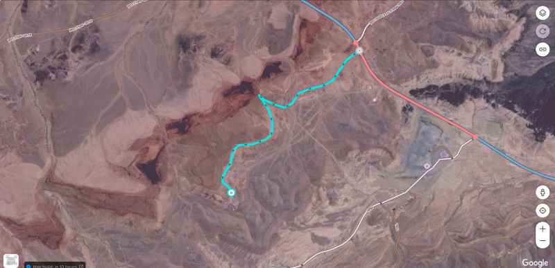
מצרפת מסלול שנשלח ע"י בית העסק
תודה !
ניסיתי וזה כותב הודעת שגיאה שאין לי הרשאה לעשות שינויים במפה
תוכל לעזור? תודה רבה
תודה
lg1992
July 18, 2021, 4:40pm
7
ציירתי את הדרך בערך לפי התמונה. נסו לערוך אותה כדי לדייק.
בוקר טוב
מעולה! תודה רבה
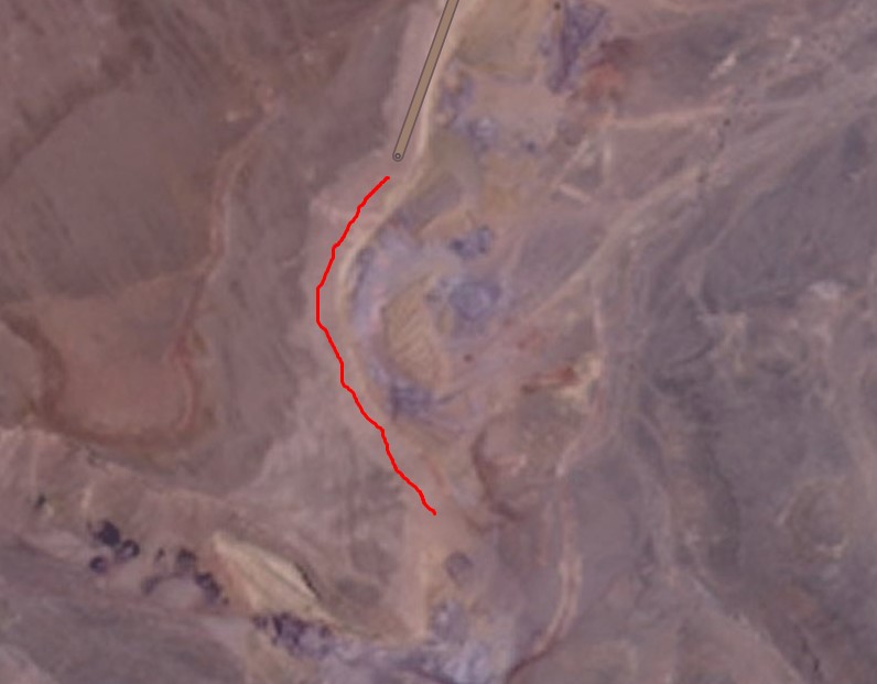
חסר רק קטע ממש קטן בסוף הדרך (מצורף בצילום מסך)
lg1992
July 19, 2021, 6:47am
9
התמונה לא מופיע. נא לצרף את הקובץ שוב, חשוב לסמן “הכנס בשורה”.
lg1992
July 19, 2021, 8:01am
11
הארכתי את הדרך. בדקתי ניווט אל d-mars שהתקבל ממפות גוגל וראיתי שמסלול מסתיים בפנייה החדה והייעד מוצג צפונית ממנה. האם בפועל המקום נמצא בסוף הדרך?