
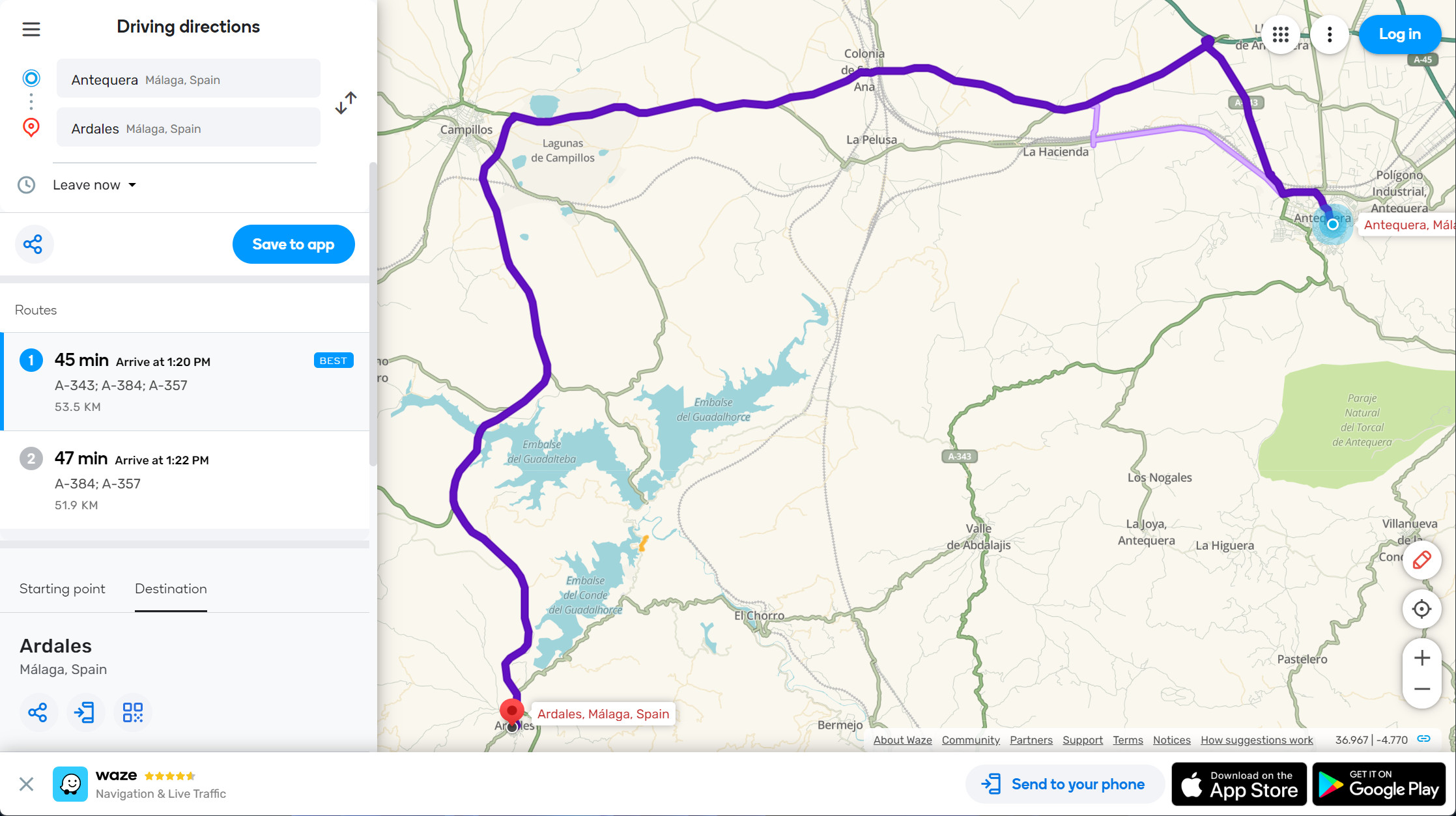
My wife and I were driving in Andalusia (Spain) between Antequera and Ardales last week. The “normal” way to drive (as suggested by Google and common sense) would be heading north on the A-384, connecting to the A357. A simple drive of approximately 45 minutes.
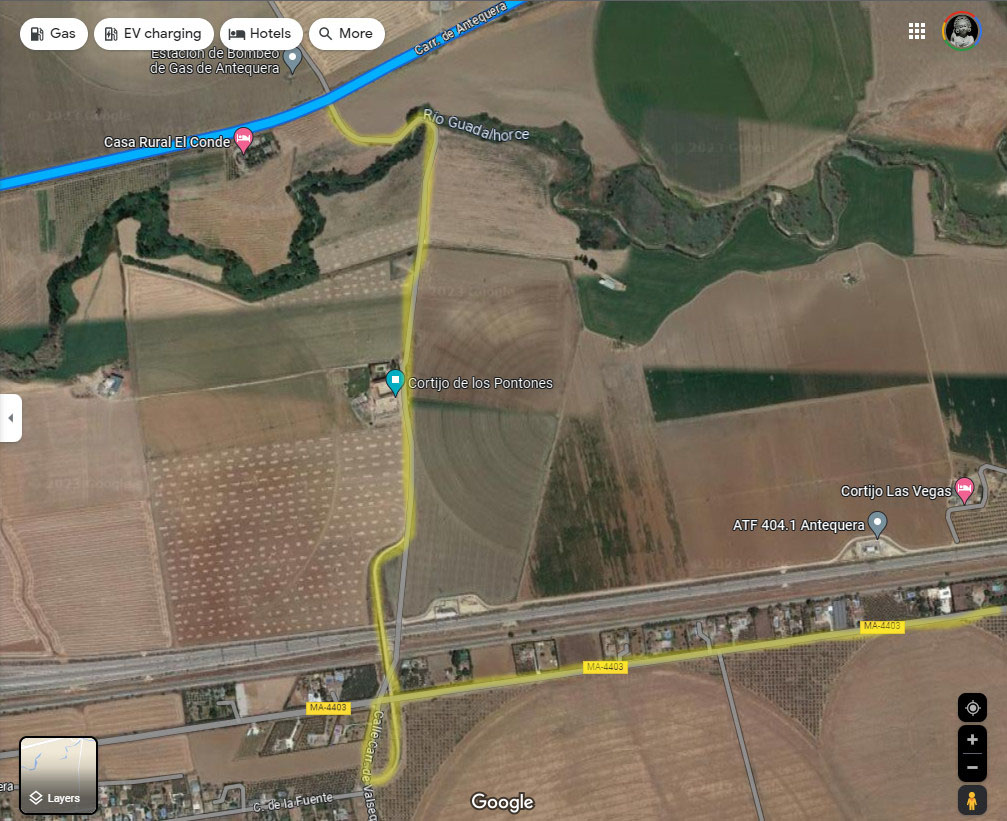
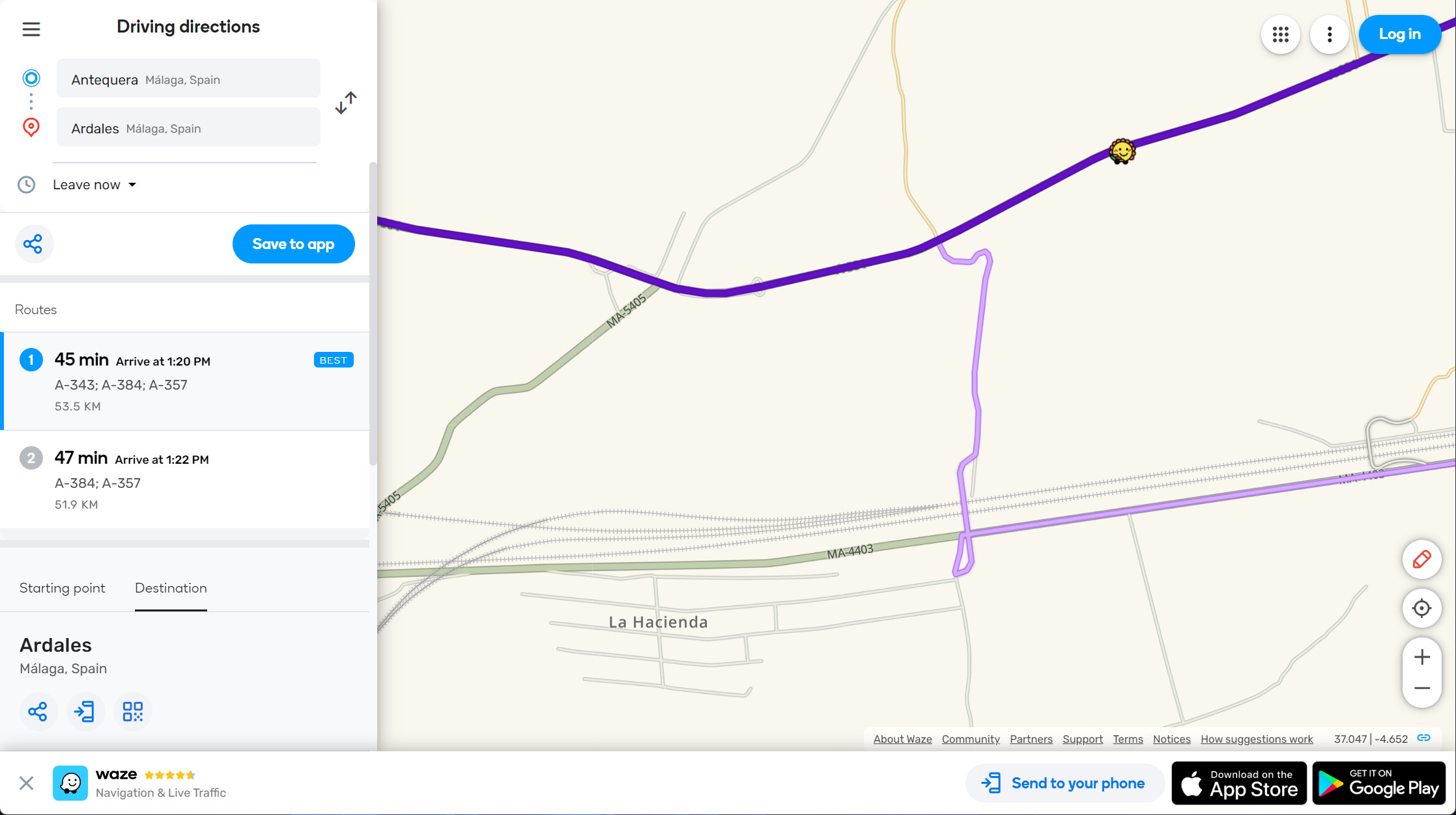
Waze routed us onto the MA-4403 heading west. We don’t mind driving smaller, more scenic routes or even short stretches on unpaved roads. In this case, rather than continuing on the MA-4403 until it connected with the A-384, we were directed to turn off (https://ul.waze.com/ul?ll=37.04260675%2C-4.64172363&navigate=yes&zoom=17&utm_campaign=default&utm_source=waze_website&utm_medium=lm_share_location), drive across a small bridge over the roadway we just exited, then past a farm building. It seemed to be directing us to take shortcut back to the A-384. The ground was a bit muddy, but still solid as we came off the bridge, plus we only had to travel another 700m or so and Waze only maps public roads, right? That is when things became dangerous. This is NOT a public road, but a tractor path between fields and through a river bed!
By the time we realized our mistake, we were slipping and sliding on a single lane path in deep mud, simply trying to keep the car from becoming stuck. Needless to say, we could not turn around (single lane path) or even stop (we would have become stuck in the mud or ended up in a drainage ditch). After about 400m we turned a corner where the path went downward, into some shallow water, then up a muddy hill on the other side. With a lot of luck, we barely made it up the other side, then continued through the remaining muddy 150 or so meters, until we reached the A-384. Upon looking at Google Maps later, we learned that this hill was the bank to the Rio Guadalhorce. It was a nerve-wracking experience that could have left us stranded in a rural area with the closest building being a farm guarded by two large dogs. If the weather had been different, our car could have ended up stranded in a river.
I wondered how we could have gone so wrong. Did we miss a turn? Did Waze really direct us to drive on a non-public way? I have just used Waze on my PC to get directions between these two locations and it provided the exact same route! (BTW, Google Maps does not suggest this route. It can be forced to create directions using the tractor path, but otherwise only uses the major public roads.)
This private farm tractor path has to be removed from database of public roads before there is an unfortunate accident! Thanks, I hope this can be addressed quickly.