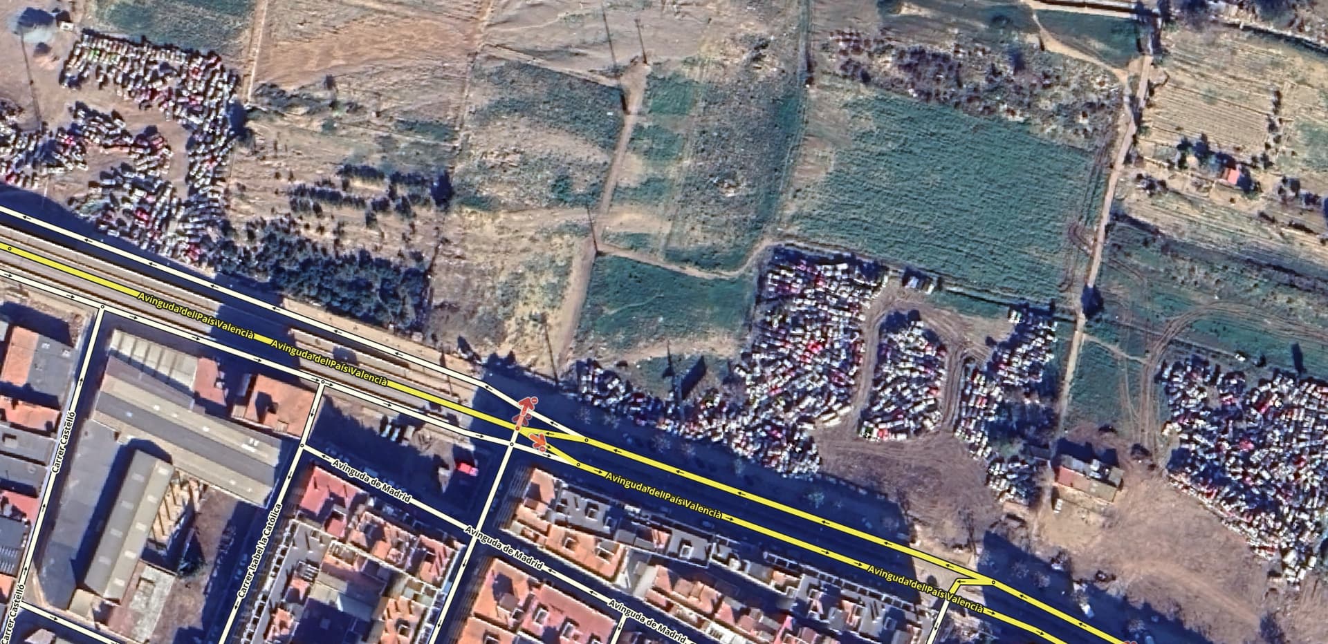
Following the passage of the DANA through Valencia, we have suffered severe damage in several towns in the Horta Sud area (l’Horta Sud), and of course, road infrastructure has also been hit, especially at the crossings and bridges over the ravines.
The greatest damage occurred at the fateful Poyo Ravine. Although during the first few days there were also closures in other areas to the north, such as Utiel or Requena. Primary national and regional roads were also affected.
In those early days, several editors from the crisis group, and also from the closures group, collaborated by closing numerous roads based on the reports we received, as well as news and official sources. We focused mainly on the highway network in the area. Even the DGT had trouble knowing the status of the roads after losing connection with most of the cameras and sensors they have on the highways.
A few days ago, @AaronG21101 requested an unlock to add a bypass on the CV-36, similar to another one implemented on the A-7. I, in turn, requested an update to the satellite view for this area.
The truth is that the Staff was quick this time, and the new images help, while also being striking due to the scale of the catastrophe.
I’m going to take a look down the Poyo Ravine from the CV-413 towards the Albufera, but without showing the road layers so the damage can be seen more clearly:
CV-413: the bridge is partially demolished:
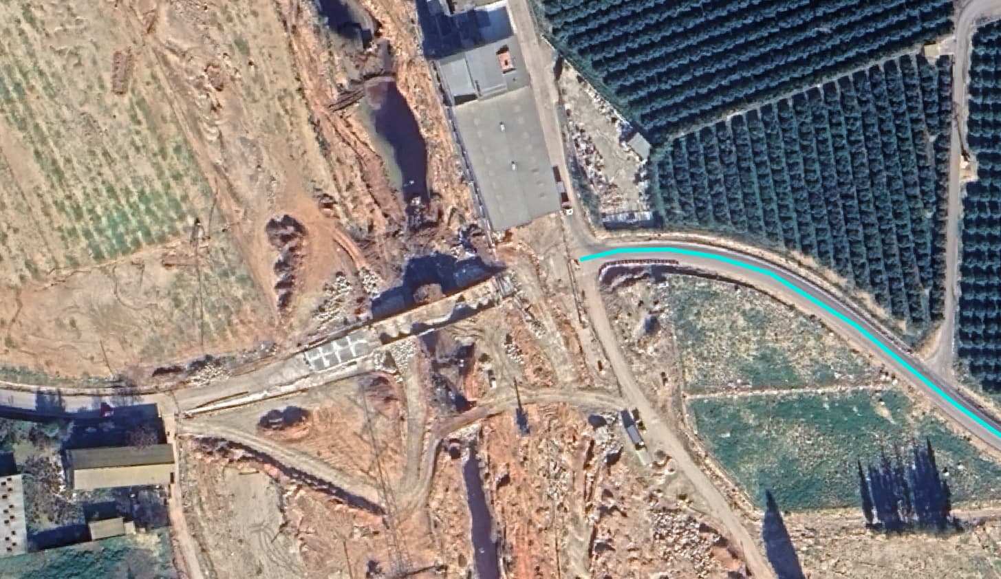
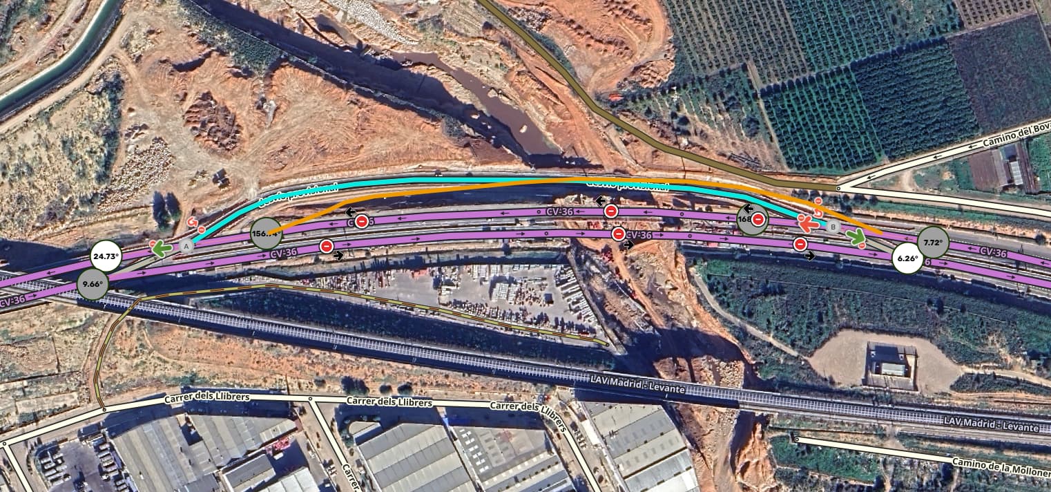
CV-36: The bridge on the southern carriageway is gone; the northern bridge is also damaged. A new detour has been created to the north for both directions.

In this case, the detour proposed by AaronG21101 was quite accurate:
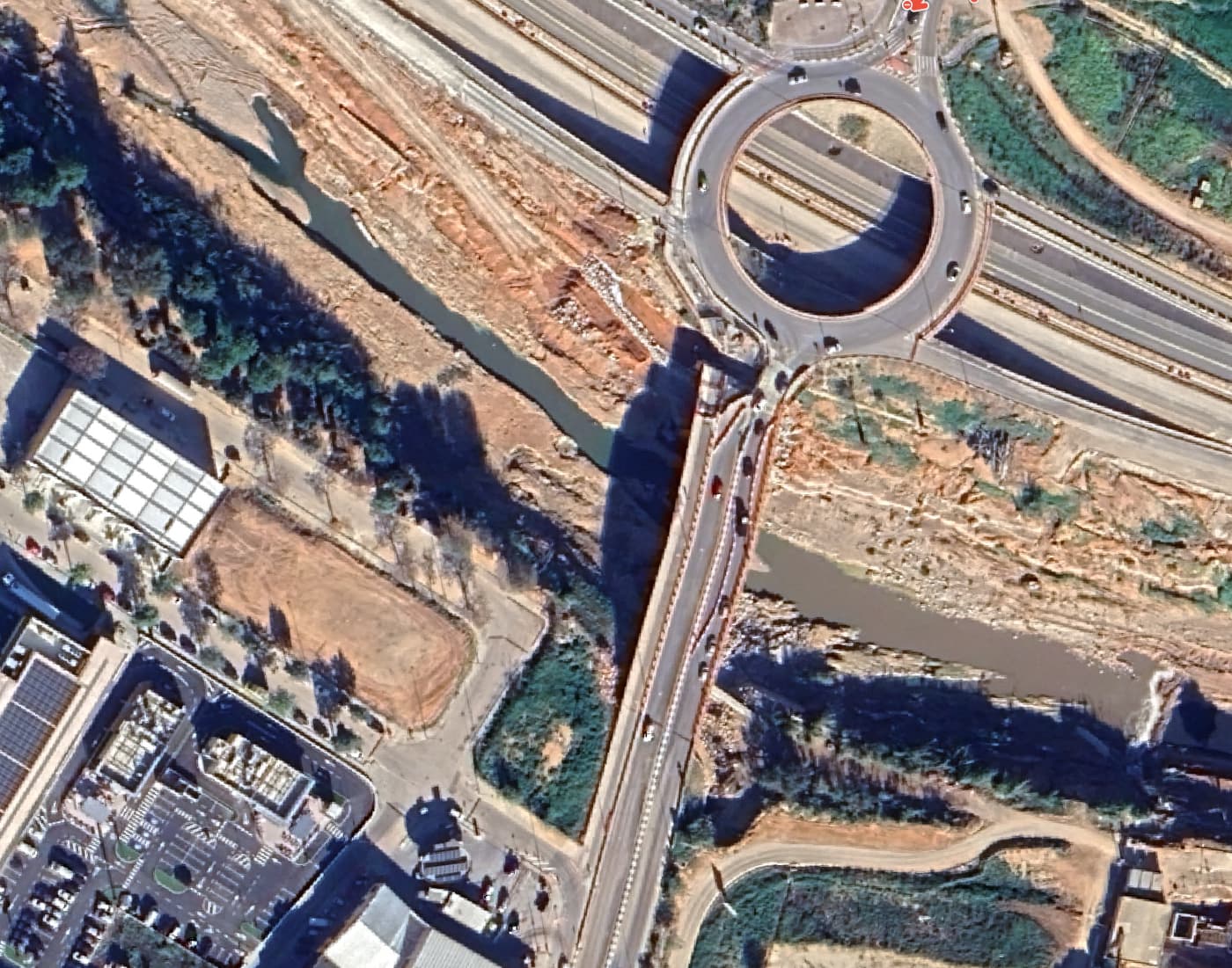
Puente de Gómez Ferrer in Torrent: part of the bridge section has collapsed

CV-403 in Torrent: part of a section at the bridge entrance has fallen, but traffic is open on the other side of the road; in this case, there is no closure in Waze.
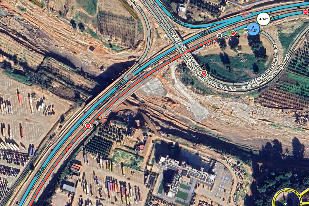
CV-33: In this case, the southern deck (eastbound) has sustained damage. The other carriageway has been set up for two-way traffic.

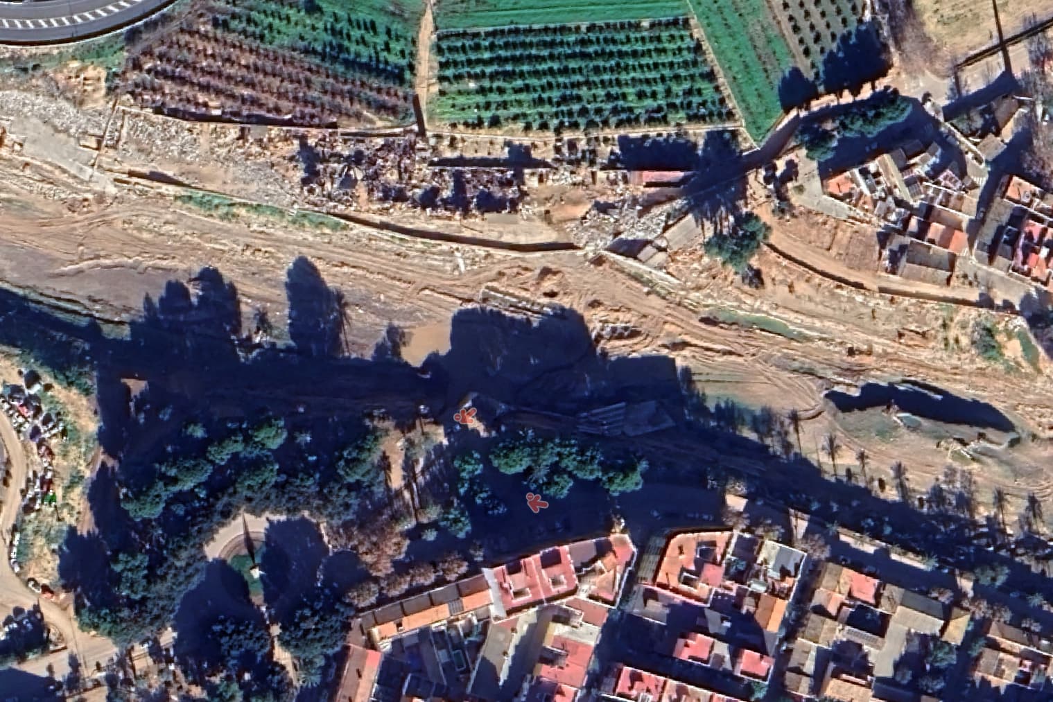
Access bridge to Picanya: in this case, it has completely disappeared:
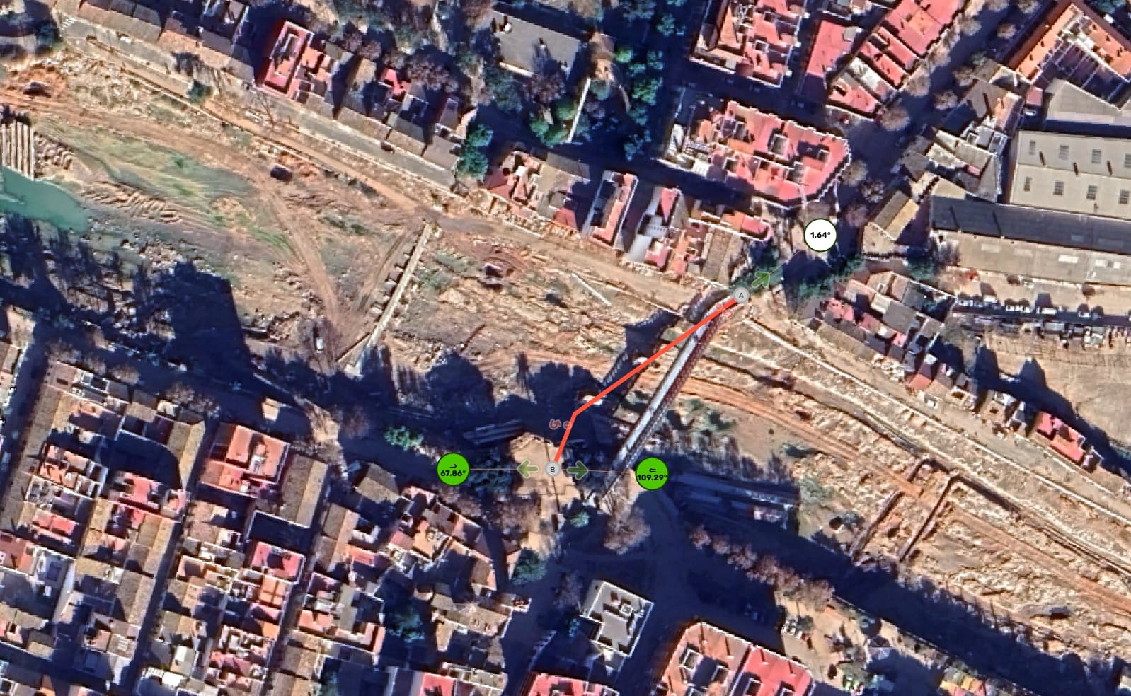
Second Picanya bridge: this has also completely disappeared. I have marked the previous bridge path in red, and a temporary pedestrian bridge installed by the army is visible in the photo:
The rest of the bridges further south have not suffered significant damage and are open to traffic.
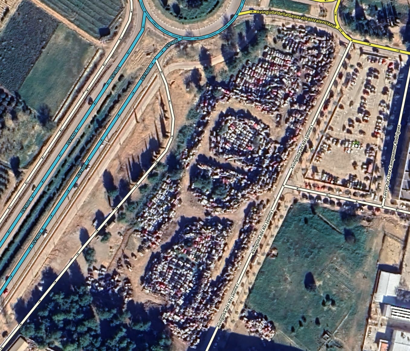
However, large areas can still be seen covered in mud, as well as lots full of piled-up cars. For example, in Paiporta:
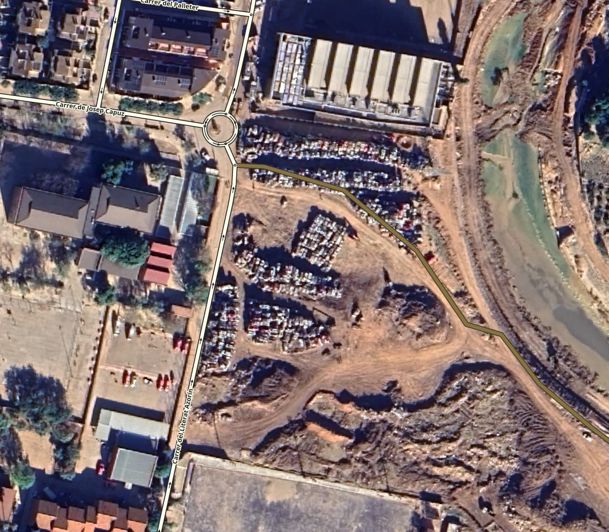
Catarroja:
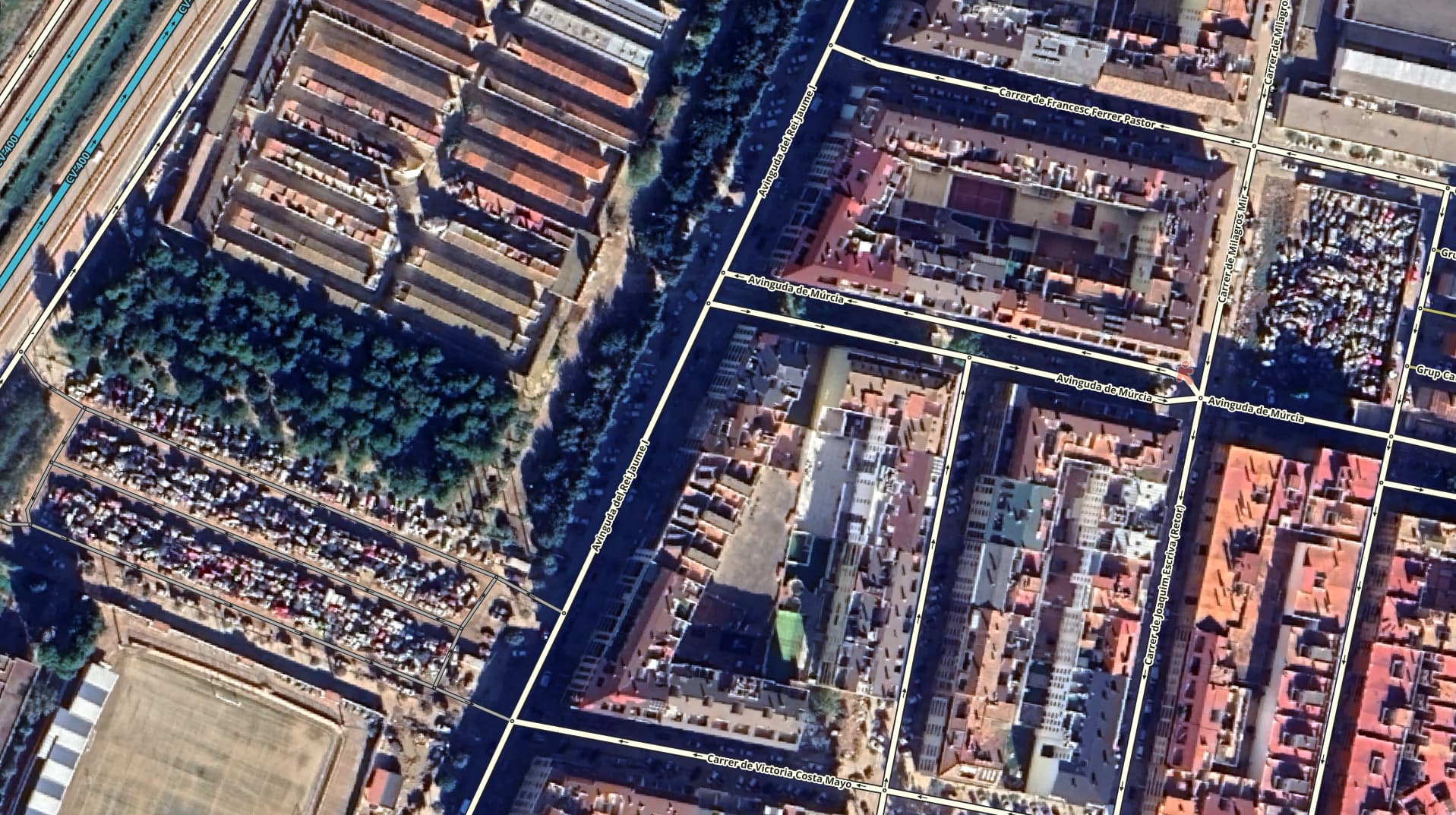
Sedaví: