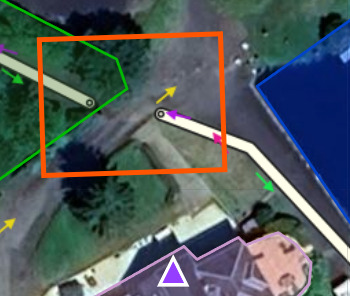
I live at the Moulin de Saint François 35133 in Landéan, which has two access points on either side of the same road where the property is located.
Waze only recognizes one (via Le Grésillon, to the east) and thus forces those wishing to use the other road (to the west via the Carrefour du Père Tacot) to take significant detours. Thank you for helping me allow users to take this second road as well.
It’s done, I’ve also updated your address according to the BAN: 2 Rue Moulin de Saint-François.
I’ve also created a POI for your business and linked the one from GMaps: “L’Étang de Vie”
The changes will be active on the map in 48 hours.
Hello I am surprised to find that Waze once again doesn’t know the second access point you created in Oct!
What is this due to? Can you
update it again? Thank you in advance.
Hello,
I don’t see any changes to the 2nd access.
Is the gate (closed with a ‘No Entry’ sign) at the entrance to your property on the road coming from the Carrefour du Père Tacot still there?
Indeed, the gate is still there
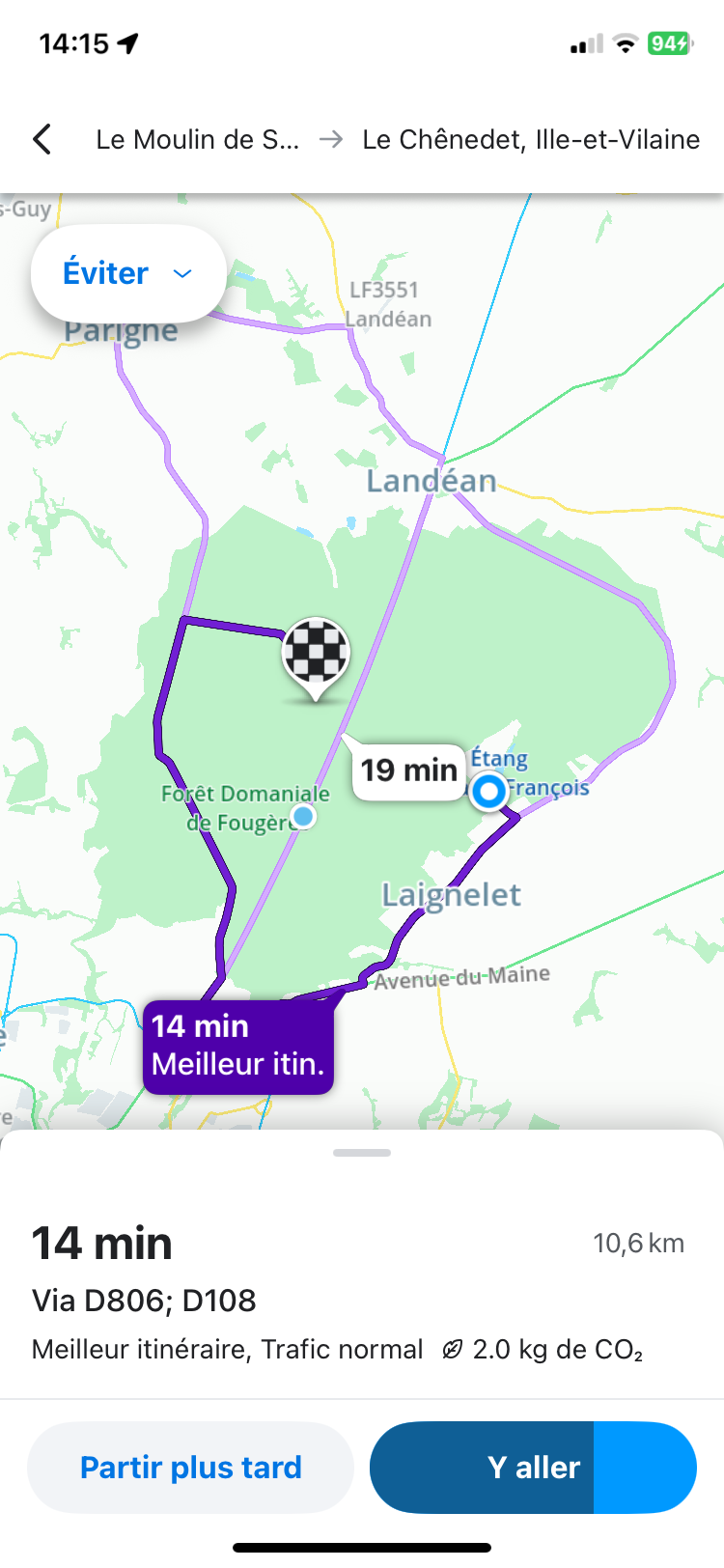
I just tested it; starting from my house to go to the Chenedet leisure park, 3km away in a straight line via the mere tacot, Waze makes me go through the other exit and travel 10km!
Sent from my iPhone
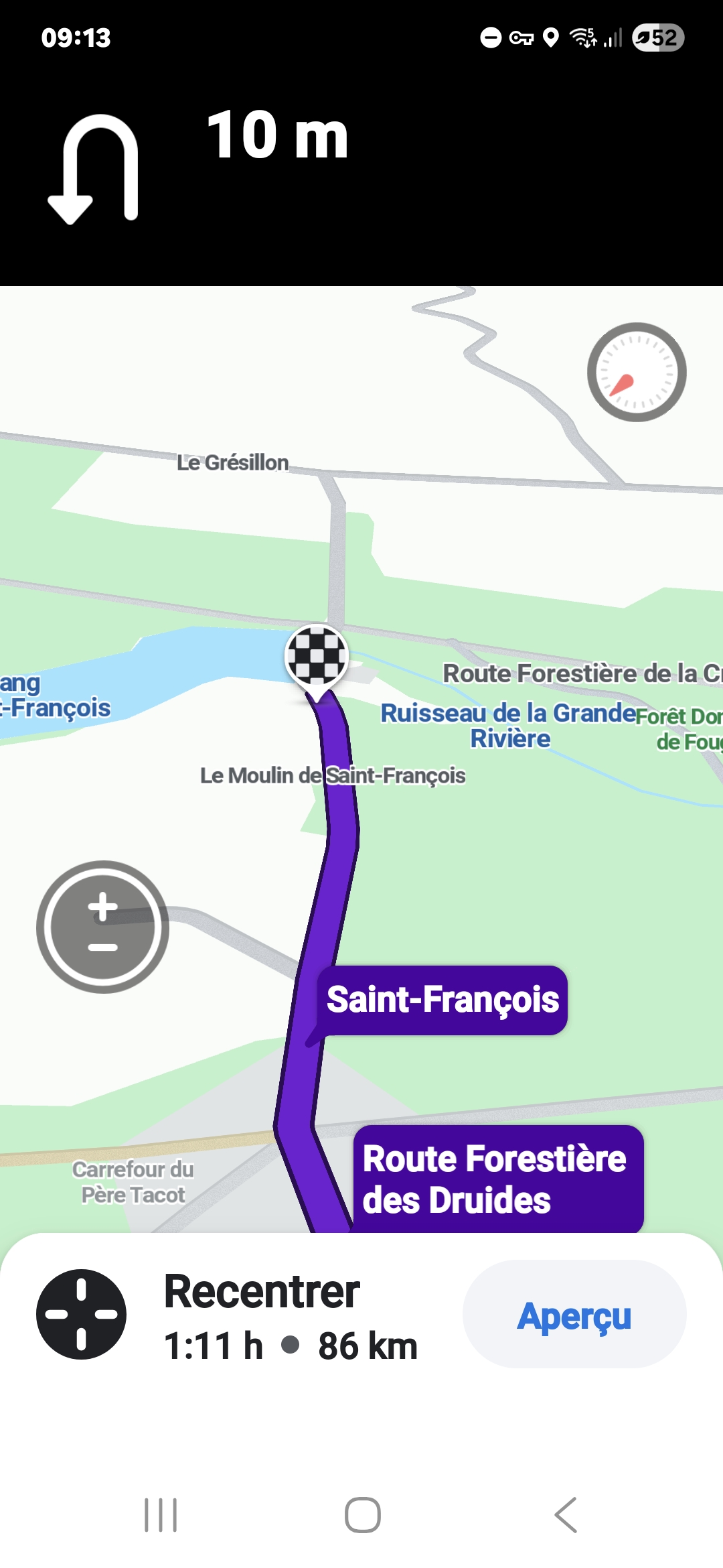
Hello
Thank you for your research but I don’t understand what’s happening, the customers are all arriving via Le Grésillon! And here is a screenshot taken just now to get to Chenedet from my place!
I’m going through Le Grésillon … and not the shortest route!
I’m going to check my route options …
Sent from my iPhone