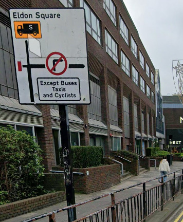
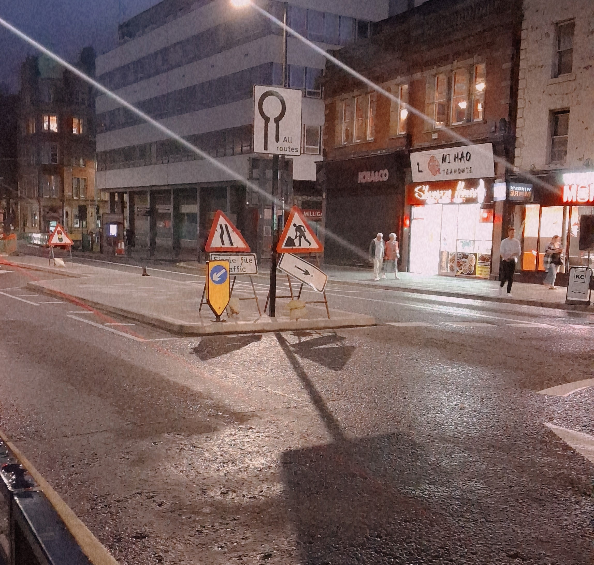
Permanent bus taxi and cycle lane on percy street newcastle upon Tyne from mini roundabout at junction with leazes park road to the cross road at blackett Street, this is west bound only, east bound not affected
Using what3words the start location is GRAVEL.SLIDE.COINS
Waze doesn’t map bus lanes, as it’s a commuter sat nav app for car users. If a particular road is fully restricted (i.e. signed as buses, taxis and cycles only, for example) then we can add the restriction, but if there aren’t any full carriageway restrictions, then there is nothing for us to change.
You should be able to paste a screenshot into the message box, or upload the photo to an image hosting site and link to it.
At the stated junction though, in a northbound direction I can only see two lanes, with lane two being a bus lane and lane one being for all vehicles. Southbound appears to be two lanes for all vehicles. Has this changed since the street view imagery, with it being the entire road which is for buses only?
I cannot see any signage restricting traffic on Percy St itself. You refer, in your original message, to the restriction applying to Percy St westbound, but Percy St is a north/south road.
It is southbound from the mini roundabout where the sign in the picture is, north bound isn’t affected,I will be in newcastle on tuesday, I will get a photo of the restriction sign