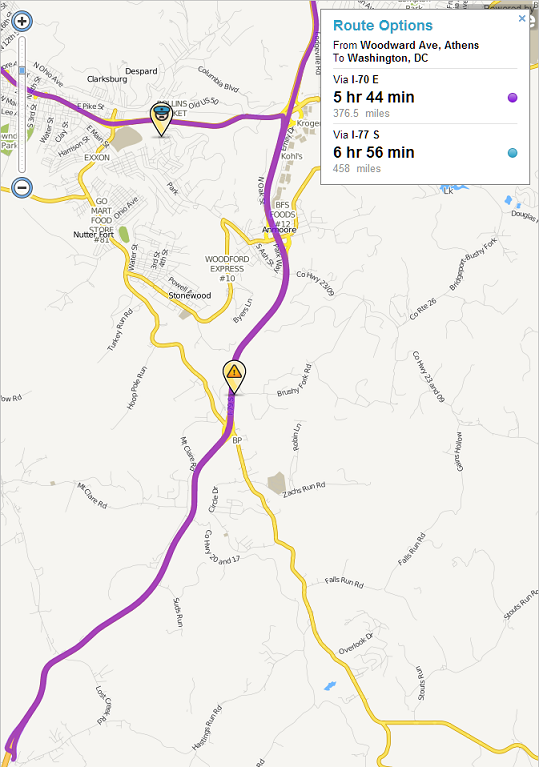
I’m driving through central WV and am trying to update this area. The framework is here, but it needs some updates. The framework that is setup identifies most of the roads as either a standard road, or as a minor highway. Primary roads are rarely used in this area. I want to make sure that as I am editing and updating this area I do so correctly. From reading the forum, the road classifications should be per the DOT regulations in the state. I’m not an expert on these regulations, and hoping that I can get some general insight from the community. I’m using the following as my general guideline for updates:
Service Road - Single lane paved or gravel minimal use
Road - standard road for light traffic 1-2 lane may be paved speed limit less than 25mph
Primary Road - 2-4 lane road may be divided by a median speed limit 20-45mph frequent intersections. Has stop signs and lights. Must be lined. Main roads medium to heavy traffic
Minor Highway - Speed limit 35-55 mph, may be divided by a median, few intersections, generally needs a deceleration lane/ramp at intersections. Numbered Roads (County, state or US route). At intersections without ramps, must have a stop light configuration.
Major Highway - Speed limit 45-65mph, numbered roads. Generally is divided with a median. Must have deceleration lanes, no stops or intersections.
Freeway - Numbered Interstates or US routes only.
Also, how do you depict a point of restricted access or a security gate.
So you are saying that a 2 lane road with almost no shoulder designated as a CR or SR regardless of speed should be a minor highway?
There are lots of these all over WV. I understand what you are saying, but it just doesn’t seem to meet the level of a highway when you are traveling 15-25 mph. When you get up to 35-55 mph I can see your point. It is a very gray area for me as this is about all that goes between towns. Some of these roads are extremely windy and have low speed limits, stop signs, and stop lights. I was thinking of labeling these as primary roads rather than minor highway. When the speed limit gets up above 35 though switch it to a minor highway.
Right now though, some of these CRs & SRs go through residential areas and downtown as 15-25mph roads. That is definitely not a highway. It causes a bit of routing inefficiency because waze will go out of its way to get onto a highway thinking that you will be going at 45mph when you will go 15-25 with stops every block.
Road typing has always been a somewhat subjective and controversial issue. I wouldn’t stress out about it too much. It would be great if we could all reach consensus on purely objective rules, but that doesn’t appear to be happening. Go ahead and do what makes sense to you as long as it is generally consistent with the descriptions in the wiki. Note that in general waze shouldn’t be going out of its way to get on a highway thinking that you will be going 45 mph when the the speed is actually 15-25 mph with stops at every block. Given enough users, with good GPS and network connections, waze will learn the actual speed of the road regardless of what type you assign to the road.
Some things to keep in mind. The waze routing algorithm doesn’t analyze every possible route between the origination point and the destination point. In the middle of long routes waze simply doesn’t consider minor roads. Thus, you need roads that are used for routing between distant towns to be major roads. The issue becomes how does waze define the minor and major roads. Previously, the definition was based on the road type. So you needed roads that are used for intercity travel to be at least minor highways. However, it is somewhat redundant for editors to be typing roads based on speed limit and perceived volume of traffic, as speed and volume data are precisely the data that waze collects. Waze is moving to relying less on road type and more on the collected speed and volume data to determine which are the major roads and which are the minor roads. Thus, the road type becomes somewhat less important. But remember that a road can certainly be a major road if it is the best way to get through an area even if it is slow. Remember also that if travelling through downtown is the best way to get through/around the town, having a route that is highway up to the town and leaving the town, but is street type through the town may cause problems. So even if the speed drops through town and you have stop at the traffic lights it can still be best to maintain the continuity of road type as a highway.
As waze moves more toward using collected speed and volume data and less on road type, the road types have less importance in routing decisions. However, another function of the road types is to provide the default speed in the absence of collected data. This may be important in some mountainous areas where waze is not collecting data because either wazers lose their GPS fix or they lose their network connections. If there is a long windy mountain road that is typed as a major highway, waze will assume a much faster speed than you will actually travel on the road. If waze can’t collect actual speed data because of GPS or network connection issues, then this can cause long term problems with the routes and ETA’s that waze produces.
So relating to roads, i’m also looking at landmarks and how they interact. I am seeing 2 very different application of landmarks. I have been using and like the first method which is to draw the actual building as the landmark. The other way is to draw the whole property that it covers. For example a gas station, method 1 is to outline just the station / store itself and leave the parking lot roads and pumps and what not alone. The other method is to draw the whole thing as a gas station.
I don’t think either is “wrong” but i think it looks a bit funny to have a parking lot road going through a landmark.
The other situation for this is an airport. Currently there is a small airport which is landmarked as the area from the main road to the terminal and the runways as an airport. This seems excessive to me. Should I leave this alone and identify additional landmarks inside that landmark for the terminal itself?
There are a couple of issues with gas station landmarks to keep in mind. First, I believe that the landmark suppresses map problems and may suppress jam detection. Thus, it can be very helpful to have the parking lot roads within the landmark. Second, there is a minimum size that a landmark must be before it displays in the client map. (I think in must be at least 50 meters.) Thus, if you limit the landmark to a small building, it may not show on the client map.
The DOT map is very helpful, but i’m still unsure of how US & SR that go through downtown areas of cities should be handled. I understand and agree with you that they should be minor highways when they travel from city to city, but inside a city these are streets just like all others, and sometimes smaller than others.
Currently, I have been scaling them down to Primary roads as they go into heavy residential and downtown areas. When the US, SR, or CR comes out of the stop-and-go area, then I put it back to a minor highway.
Looking for some advice here.
Also, there are some CRs that are small that go between cities that do not show up on that DOT map. I would like to map these correctly, but would like another resource that goes into a finer grain of detail.
Many editors prefer to maintain the continuity of routes through town. If there is no bypass around town B between towns A and C, then waze may go out of its way to stay on highways rather than routing from A to C through B if you don’t have any highways through B.
Where can you edit in WV? I was going to give the example that waze when routing from say Bellington to Petersburg should route over the state and US highways through Elkins. However, waze won’t route from Elkins to Harman on US-33. I believe that the problem is the turn restrictions here. Is this an area you are familiar with?
My concern is that waze won’t route through Clarksburg on 50 in the middle of long routes, but that’s likely fine as I-79/I-68 may well be the better route east of Clarksburg. But in looking at this, I can’t figure out why waze routes like this:
I tested out a few other routes in the area, and I see what you mean about routing around downtown Bridgeport because it is a lower classification of road. The more i think about this though i think that this is probably a good thing as there is a lot of stop and go and traffic and small roads. If you are on a long trip it might be a good thing to go around this area instead of going through downtown area. I’m sticking by my work and saying that i like this approach.