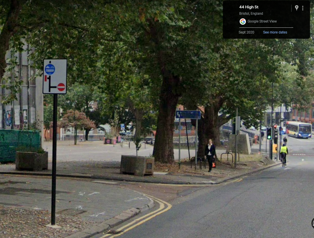
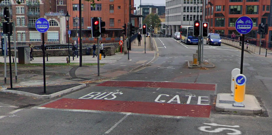
As the bus gate is located at the junction with Bridge Street, we have this mapped correctly, mapping it any differently would be wrong and prevent access to properties along High Street up to the restriction.
I’m unsure what you expect, where is the error in the Waze mapping, you’ve highlighted the signs for people to see on the road. Drivers have to take some personal responsibility if they ignore them all. This is already correctly set up in Waze.