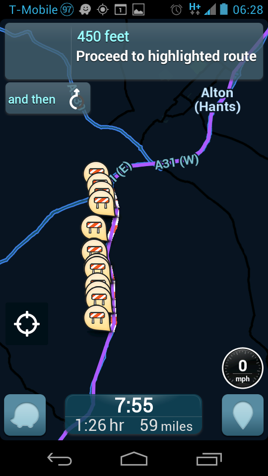
Following this morning’s mess of the A3 at Liss, i tried to find another route, and Waze routed me through a section of the UK that’s currently flooded out and is actually marked as closed!:
I’m not sure what’s gone on here. I was in good reception at the time.
It appears the livemap maps correctly around the area, but it’s taking a long time to update the display with the closure ( ~ 20 seconds) at that zoom level, but instantl showed 24 problem icons.
Don’t worry, i guessed as much, you’re a busy man! I was trying to work it out as well, worrying it was something like an old internet explorer, my phone or something silly!