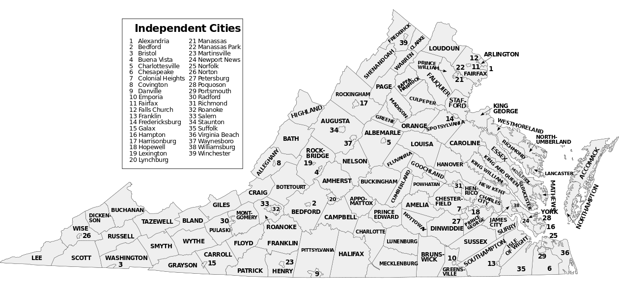
Mapping resources for Virginia
National Resources
Railroads
Federal Railroad Administration
Virginia Statewide Resources
Rural farm and logging roads that are never open to the public should be marked as Private Road type to prevent routing. Most should be left off the map unless they serve multiple residences or residences out of sight of the main road. The Dirt Road/4x4 Trail designation should be reserved for public (state/locality maintained) dirt roads and Forest Service roads, etc, that a user may actually traverse freely during at least part of the year.
-
2006/7 Virginia Base Mapping Program data 1’ resolution, leaf off, whole state coverage
-
AARoads Virginia Contains pictures of most BGS on highways as well as other ground level imagery.
Regional Resources
-
2011 Virginia Base Mapping data 1’ resolution, leaf off, coverage of NoVA, Richmond and Tidewater areas
-
Virgina.gov has a comprehensive list of local government GIS activities. The Virginia.gov site includes some of the links below as well as indicating when there is no government GIS site for a county or area.
Additional GIS Resources
- Town of Abingdon GIS
- Arlington Aerial Photos This is aerial imagery with streets labelled.
- Arlington Real Estate Map This is a parcel map with addresses identified.
- City of Bedford GIS
- Town of Blacksburg GIS
- Town of Christiansburg GIS
- Fairfax County Tax Assessor Site
- Town of Farmville GIS
- Northumberland County Map
- Northumberland Tax Map
- Town of Rocky Mount
- Town of Hillsville GIS
- Town of Rural Retreat GIS
- Town of Warrenton GIS
- Town of Wytheville GIS