|
|
This wiki page is complete. Editing Group assignments are complete, and the MapRaid is in full swing! Check this page and the MegaMapRaid page for changes at least once per day, as we will post updates regularly. Stay in touch in your assigned slack channel (not the general channel if you can avoid it) |
Map Raid Baltimore is will run for approximately 4 days from Sunday, March 8, 2015 17:00 UTC through Thursday, March 12. It is part of a wide-scale MapRaid known as MegaMapRaid.
Welcome to Baltimore!
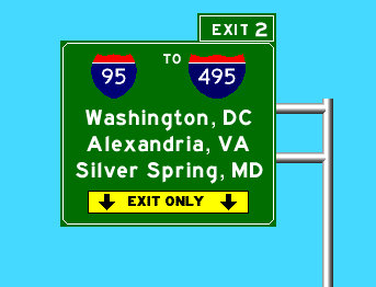
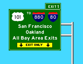
Sign on MD-295 NB
Baltimore is the largest city in Maryland and the largest independent city in the United States, meaning it is not included or merged with any other County. Baltimore County borders the City on most sides.
Charm City has a unique culture, to say the least. If you want to experience some more of the ‘eccentric’ features of Baltimore as you edit follow these steps:
- Rent/buy/stream Hairspray (1988), Cry-Baby (1990) or the Wire (2002-2008). They are all fiction but have some truth to them.
- Get some Old-Bay seasoning, and ignore the packaging. Put it on everything: seafood, french fries, chips, sandwiches, etc. Try using it on the rim of your bloody-mary too.
- Speaking of booze, try some baltimore flavor (or lack there of): National Bohemian (Natty Boh) is the default beer for Baltimorons, but if you are looking for more flavor try Union Craft Brews, Brewers Art, or Heavy Seas.
- Finally, complain about the weather. Right now its 20°F and snowing or icing, but in 6 months it will be 95°F and 100% humidity, so we really can’t win.
The city’s history spans back to the British Colonial times, as the Port of Baltimore. During the War of 1812, Fort McHenry set the stage for Francis Scott Key to pen our National Anthem, the “Star-Spangled Banner”. Through the 1800s-1950s, Charm City experienced growth as a result of trade and industry. However in the 1950s to 1980s, there was drastic decline in part due to drugs, school issues, suburbanization, and the loss of jobs associated with historic industrial operations. The History of Baltimore Wikipedia page has lots more information.
Today Baltimore is fighting to reclaim jobs and revitalize its downtown area. Popular Inner Harbor attractions such as the National Aquarium and events such as the Grand Prix and Star Spangled Spectacular have shifted the cities attention to downtown tourism opportunities. At the same time communities further from the downtown core, especially to the west and south, have struggled as blight and crime continue to weigh on the city.
Baltimore City Roads
Baltimore City is unique in Maryland as the City’s Department of Transportation assumes responsibility for all roads, from surface streets to interstate highways. Only the tolled tunnel facilities are operated and maintained by the State’s Department of Transportation. However, Baltimore County roads are constructed and maintained through either the County or the State depending on the size and importance.
Raid Areas
Baltimore MMR Zones
WME Permalink Baltimore Area
Check your Team assignment
Raid Groups
Mega Map Raid Team List (searchable)
Permalinks for MMR Zones
31 - Downtown Baltimore City & South
32 - Baltimore City North East
33 - Baltimore City North West
34 - Baltimore City West
35 - Baltimore County North & East
36 - Baltimore County West
37 - Harford and Cecil Counties
38 - Anne Arundel South
39 - Howard & Carroll Counties West
40 - North
PUR Areas
Place Browser for Baltimore
Mission
Our primary mission will be to handle the URs, and PURs, followed by Place validation, and general map verification.
|
|
Functional Classification (FC) has been fully implemented for the Baltimore area.
Some road types deviate intentionally from the state DOT's classifications. If you find a road which is set to a type that is too low, upgrade it. Conversely, if you find a road which you feel is set to a type that is too high, or you need to talk about deviating from FC, please contact a local champ or State Manager before making changes. |
Local Hosts
CBenson (PM [Help])  - Mid Atlantic Regional Coordinator - generally available during daytime hours
kodi75 (PM [Help]) - State Manager - generally available on weekends, evening hours during the work week.
JasonN899 (PM [Help]) - Area Manager - flexible hours, change daily, mostly evenings
nzahn1 (PM [Help]) - Area Manager - generally available during weekends, and weekday evening hours
Bugladen (PM [Help]) - Area Manager - generally available during evening hours
jr1982jr (PM [Help]) - Local Editor - generally available during daytime hours
Important!
Please do not alter any of the following road types without first consulting a Local Host: Freeway, Ramp, Major Highway, minor Highway, Primary Street.
Please do not mass-edit Do not perform edits which will affect large numbers of segments at once. The edit history of segments is highly valuable in the process of solving URs. Mass editing effectively mass erases this history, permanently. We ask that all necessary processes which might affect large portions of the map, or long stretches of roads, be reserved until near the end of the MapRaid. This includes the “Select entire street” function.
Anything locked at 5 or 6? Please check with a local editor before making changes. Rank 5 and 6 editors - consider keeping highlights active for locks 5 and 6.
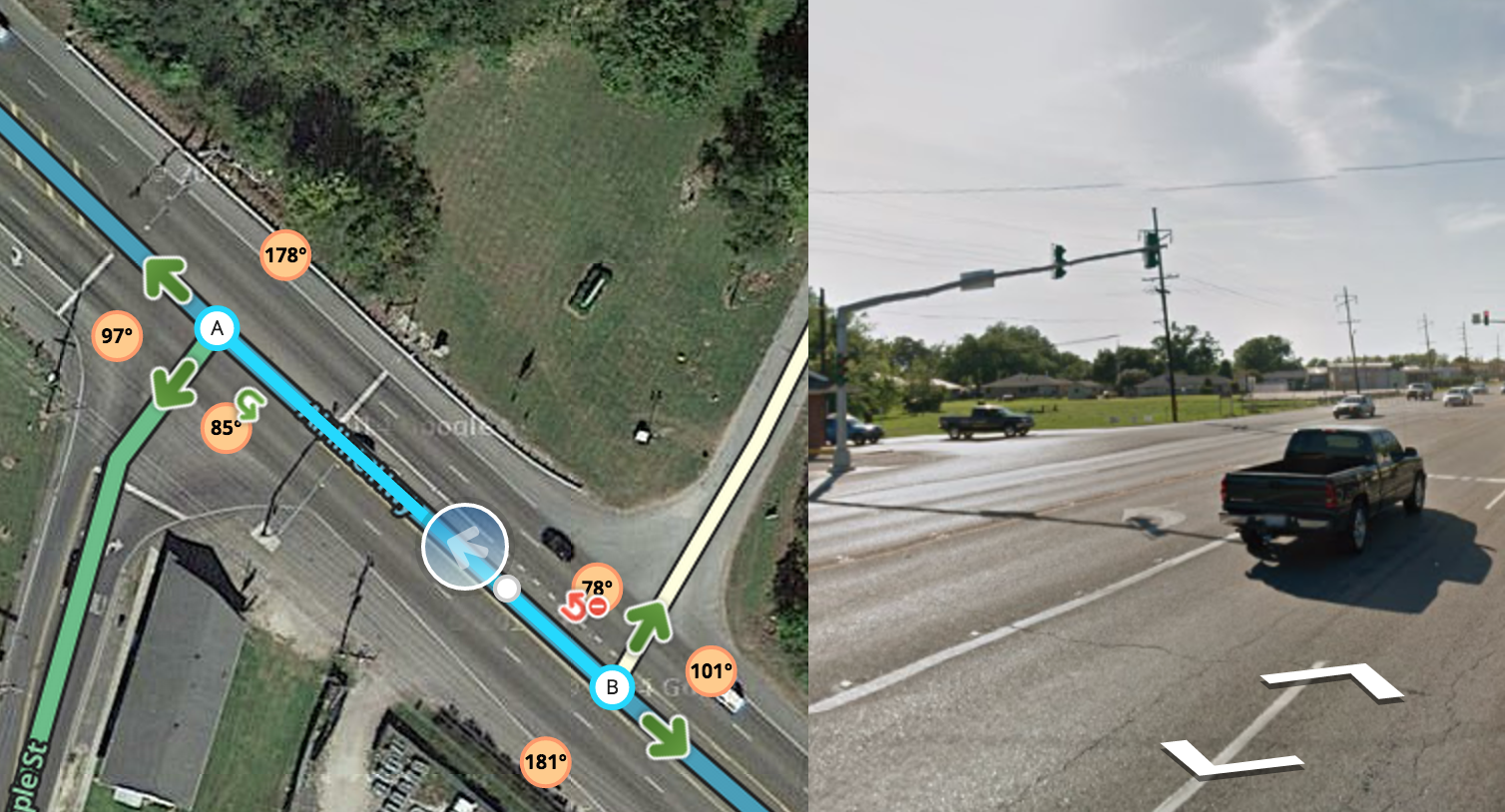
Close nodes We make extensive use of the “micro-dogleg” technique, where a geometry node is carefully placed, at full zoom, directly next to a junction node, in order to set the angle to create a desired Turn/Stay/Exit prompt. Please watch for these if you move any junction node, and be sure to recreate the same angle at the new location.
Local Guidance
Functional Classification
In the United States, we set our road types using a national standard called Functional Classification (FC). You can read a detailed explanation in our Road Type page.
The Functional Classification has been completed in the Greater Baltimore Metro Area. Occasionally, we find short segments that were missed in the selection process for conversion, and it is important that these be corrected for routing continuity. In general, however, we ask that Road Types not be changed without consulting one of the Local Hosts. In isolated cases, we have chosen to deviate from official classifications, due to errors or outdated information in the MdTA FC maps, or to better accommodate real-life situations and Waze quirks. It is important that these remain intact. Sometimes dirt roads may appear higher on FC maps but shouldn’t be used by Waze for routing.
If you find an area that doesn’t seem to be complete please bring it to the attention of a Local Host for review.
FC Maps
We have .KML maps available, compiled by nzahn1 (PM [Help]) . Please contact him directly if you have any questions about the maps.
FC Maps
Locking Rank
In MegaMapRaid we have a set minimum standard for locking roads based on segment type. Any road of a certain segment type must be locked at least to the rank (level) in the chart below. Roads may be locked higher for protection and special situations (areas with construction, tricky design, frequent mistakes, imaging inaccuracies, and the like), but should not be locked lower.
A great time to implement these locks is while bringing the road types of an area into compliance with the current US road type standards (FC and highway systems). Lock the roads based on type after they’ve been set to current US road type standards.
MegaMapRaid Minimum Locking Rank Standard
| Segment Type |
Urban |
Rural |
| Freeway |
5 |
4 |
| Ramp |
5 |
4 |
| Major Highway |
3 |
2 |
| Minor Highway |
2 |
| Primary Street |
2 |
| Street |
1 |
| • • • • Ferry • • • • |
5 |
| |-|-|-|-|-|-|-|-|-| Railroad |-|-|-|-|-|-|-|-|-| |
2 |
Note that these are minimums and, for protection, certain segments may be at higher lock levels. If you find a road locked to a higher level than its minimum, please leave it locked no lower than that level when you have finished editing.
Place Editing
Maryland follows the general Wiki guidelines for Places. Items to look for & fix: misspelled names (use proper capitalization!), wrong categories (doctor’s offices are generally not hospitals), missing addresses (EVERY business place should have an address!!) poor location (not in the middle of a highway) and incorrectly assigned photos are all over the map. Use the powerful Place Browser (link below) and the information on the Place editing page to get these places corrected.
Review the Waze Wiki Page on approving photos .
If you fill in all (most) of the information in the data fields, raise the lock level to at least a “2” (or higher depending on guidance stated elsewhere in the Waze Wiki).
Gas Stations
Gas Stations should be locked to level 3 but, only after all data fields in the gas station have been filled. At least ensure that Brand, Name and Address have information. Remember to ask a hosting local if you need help identifying gas station information. Please read the Gas Station page for details about how to maintain gas station Places.
For editors below rank 3, once you have completely filled out a gas station with the min required information, please ask for a lock request.
Toll Roads / HOV / HOT / Truck Lanes
It is our custom to mark the Toll checkbox only on the entrance segments to Toll Roads. HOV and HOT road types have already been set correctly according to our local practices. If you have a question about one of these lanes, please contact a Local Host.
To learn more about HOV lanes read more in the Editing Manual
Special case: Do not alter the ETL (Electronic Toll Lanes) on I-95 North/South. Yes they are highlighted by validator as being a 2-way freeway, but no, its not an issue.
Construction
There are a number of major construction projects in process within the overall MapRaid area. These construction projects can cause frequent intermittent road closures. Many closures change daily and cause great numbers of URs to appear. When handling URs in one of these areas, be aware that reports of “Turn not allowed”, “Missing road”, “Wrong driving direction” are common, but may not indicate a map problem that can be fixed, because the physical road situation will change before our edits can take effect.
Baltimore City DOT closures are only intermittently reported on its Traffic Advisory webpage.
Baltimore County closures are frequently posted on the the County’s Road Closure webpage, but some details are often missing.
Maryland Highway Administration posts its closures for state roads, highways, and interstates to the CHART website.
Local TV Station WJZ monitors closures and traffic related incidents for the Baltimore region through this map.
Local Hosts will attempt to keep editors informed of closures as they are discovered. Please contact us if you add / modify ANY closure via WME. The sheet below will serve as a database of closures, especially those not listed in the Official Waze Closure sheets:
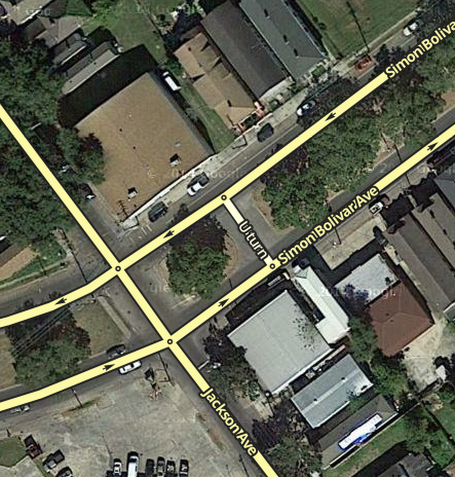
U-turns
Generally we can confirm, lock or “harden” U-turns (click to remove the Purple question mark indicating a soft turn – see the Wiki) on residential streets, but please avoid confirming them on major streets.
Alleys
DO NOT map NEW alleys without FIRST gaining approval from a Local Host (Area manager or higher).
If alleys are mapped (e.g. Baltimore City, Metro area), the road type should be set as Parking Lot Road; the other attributes (Name, city, direction, turn restrictions) should be set according to best practices like any other drivable road.
Please ensure use of GIS data and/or Street View to confirm the name of the alley.
Waze will route to the closest segment for a set of destination coordinates which may result in the destination being along the alley way.
To try to prevent this issue, try several things:
- Make sure the Waze house number is confirmed – move the house number a little in any direction and save. To force this to be uploaded in the next tile update, make a minor change to a nearby segment. When waze routes to a waze house number, it will always route to the stop point at the street
- If, after the next tile update, waze seems to be ignoring the Waze house number, you may need to adjust the Google address pin. Wait at least 24 hours after the Google edit is accepted.
- If all else fails, try creating a private place with the correct address. Ensure this point is closer to the correct street than it is to the alley. Refer to the FAQ for additional information.
UR & MP Guidance
During the Mega Map Raid, we will be shortening the Closure time of UR’s without responses to 2 days. Please ensure that there has been no activity on the UR before closing it. If there is a UR that is being actively worked but the reporter has not responded in 2 days DO NOT close it.
Also, always leave a closing comment; no UR should be closed without one.
Cameras
For information on Cameras within the Baltimore metro/Maryland area please visit our Maryland Camera Wiki
Mapping Resources
Maryland GIS Resources
Also see the Mapping Resources section of the Maryland Wiki page
www.mdmerlin.net
Click on “Interactive Map V 2.0” tab near the top of the page to access the map. In the search box type in the city name to zoom to that locale, then enter the street address. Add the "Parcel Boundaries / SDAT data from the layer list on the left. Clicking on a polygon opens a link containing property data. Toggle aerial imagery if needed.
cityview.baltimorecity.gov
“City Map” is the official map for the city; find this by clicking on Base Map then selecting it out of the drop down box.
The “Property Information” layer will provide house numbers upon request; click on “Thematic Overlay” and then select “Property Information” from the drop down box.
- Baltimore City Addresses Map[1]
Address nodes formatted in the addressing scheme used on OpenStreetMap. Data is for import consideration only.
- Baltimore County My Neighborhood
myneighborhood.baltimorecountymd.gov
An excellent source for street names and address locations. Note: The “Silverlight” plugin is necessary to load this page. Check the permissions for your browser if the page doesn’t load (in Chrome this may be an icon on the right side of the address bar).
Make sure to agree to the terms/disclaimer, then click enter to view the map.
- Maryland Census Designated Places (CDP) Resources
Maryland 2010 CDP Maps (PDF by County, with street overlays)
Overlay the above boundary file(s) with the WME Geometries Plugin. After loading the file(s) in WME, turn on the Roads layer (to reference existing CDP/ City names) and the cities layer (to view which WME city boundary may need to be modified).
/* Communication */ moved to MegaMapRaid#Communication
Reference Links
The Basics
Recommended Tools for MMR Baltimore
-
The Overlay Script is available on GreasyFork to indicate the Group areas on the map as you work. You will need TamperMonkey (Chrome) or GreaseMonkey (Firefox) to install and use this.
-
UR Comments - a tremendous time and labor saving tool with automation and integration with URO+, to help with working URs. Read the documentation.
-
Place Browser - In combination with the Place Name Harmonization list, this is an invaluable tool for working on existing places. Be sure to click the About tab to get an overview of the tool.
-
The WME Reference Sheet[PDF] is a printable double-sided tri-fold quick reference guide to some of the common topics used in WME.
-
Validator is a script that validates a map area in Waze Map Editor, highlights issues and generates a very detailed report with wiki references and solutions.
Download links:
Note: Greasemonkey is required to use Validator in Firefox.
- WME Chat Addon is a script that improves the WME chat GUI. For a list of all the features check the thread here.
Note: Tampermonkey/Greasemonkey is required to use this script.
Baltimore Map Raid Forum
Mapraid edit lists
Spreadsheets and forms are being used to streamline management of various group efforts and track important edits. Below you can find links to use these these forms, sheets, and see the lists.
Scheduled Edits
These are edits which need to be completed but must be postponed in order to retain history for UR Solving. These edits are designated to specific editors to complete, once they get the green light from the MapRaid! leaders.
Boots on the ground
We need local boots on the ground to check things. Please add requests for locals to go and scout things in person, as in on the road. Some examples when this would be used include to check and see if:
- The street view is accurate,
- A road is really closed,
- A turn really allowed/prohibited, etc.
First, try the local slack channel for your area: #mmr-md-va-dc
If you don’t have success there, you can try the Maryland MMR forum, or post a request to the Boots on the Ground sheet, to be explored by local editors. To place a new request, or respond to an existing request, please use this form.
[View this list full-screen in Google Sheets](//docs.google.com/spreadsheets/d/1N8ZYFkew8bcVjJAMygd87BN38Rwze-3XN9GZJ6HXbss/pubhtml?gid=712355616)
New feature: Boots responders can click the Navigation Link on a Waze-enabled device, or copy and send/save it for later use. It will open Waze and navigate to the coordinates at the center of the permalink.
Results
MapRaid Promotions
Some editors really let their bright side out, and let their community skills shine. This is even more evident in a concerted group effort with high-density editing like a MapRaid!. Editors of all ranks working closely with each other and the Champs, really lets us everyone get to know each other, and allows certain editors to be recognized for their skills and effort.
When the Champs see someone consistently editing well, interacting well with the community, and knowledgeable of the various details from the Wiki, they can issue promotions. This can be anything from the size of a managed area, to a rank increase, or even a new role.
The following editors have all earned our respect, and gratitude for a job well done. Not all received a promotion, but all were noticed and appreciated.
Aside from our local hosts Bugladen, JasonN899, jr1982jr, nzahn1, subs5 and our Regional Coordinator CBenson, we want to recognize the following MMR Editors for their tireless work:
- dchary2418
- doryphore_
- Noney82
- psubrian
- Rising_Sun
Groups


