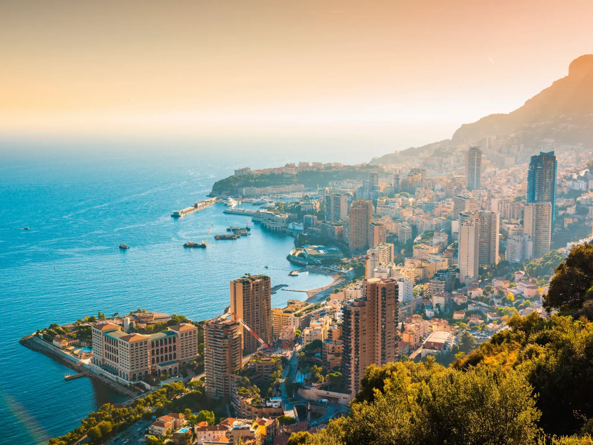



How long does it take to drive to, and through, Monaco? How can we improve the flow of traffic in an area spanning just two square kilometers, but with 40,000 daily commuters?
Seeking strategic and actionable answers to these questions, the Principality of Monaco teamed up with waze for cities. Our successful partnership helped the city address its key objectives to:
By turning to digital technology, the Principality of Monaco improved its overall approach to city traffic. They developed traffic systems that better reflected the on-the-ground reality, and launched reliable, real-time messaging to drivers, thanks to increased precision in predicting traffic. This resulted in a smoother flow of traffic, a decrease in noise pollution, and improved air quality.
- Enable real-time, mass communication to Monaco residents.
- Establish a direct communication channel to drivers in Monaco.
- Understand and plan for infrastructure to support sustainable mobility (bikes, scooters, etc.) and public transport.
By turning to digital technology, the Principality of Monaco improved its overall approach to city traffic. They developed traffic systems that better reflected the on-the-ground reality, and launched reliable, real-time messaging to drivers, thanks to increased precision in predicting traffic. This resulted in a smoother flow of traffic, a decrease in noise pollution, and improved air quality.