



CRISIS RESPONSE

Building Resilient Communities: Waze's Role in Sustainable Crisis Response During the Greater LA Wildfires

3-MIN READ

How real-time data, community collaboration, and emergency partnerships enhanced crisis response and built long-term resilience during major environmental disasters.

How can real-time data and community collaboration be leveraged to enhance crisis response and build long-term resilience during major environmental disasters? How can technology contribute to sustainable practices during emergencies?

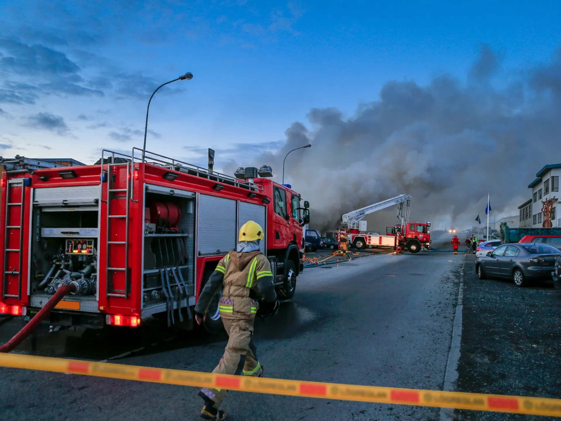
During the Greater Los Angeles wildfires, waze, through the waze for cities program, played a critical role in supporting emergency response and fostering community resilience. Our collaboration helped achieve key objectives to:

  • Minimize unnecessary travel and fuel consumption during evacuation.
  • Strengthen community resilience through collaborative data sharing.
  • Utilize data-driven insights for future disaster preparedness.
  • Provide real-time information for shelter locations and evacuation zones.

By leveraging real-time data, fostering community collaboration, and focusing on sustainable practices, waze contributed to a more resilient and efficient response to the Greater LA wildfires.
"By collaborating with waze for cities, waze, editors and partners achieved significant results in crisis response and sustainability."

Impact:

To enhance resilience and minimize the environmental impact of the crisis, the partnership:

  • Provided real-time road closure information for over ±5,000 segments, impacting 177,500 drives and reducing carbon emissions.
  • Distributed 32 shelter locations via push notifications to 2.5 million drivers, facilitating efficient evacuations and minimizing fuel use.
  • Facilitated collaboration between waze, 7 local community editors, Genesys (Zonehaven), and CalOES, enhancing disaster preparedness.
  • Enabled community editors to validate critical information, including open and closed locations like veterinary clinics and gas stations.
  • Utilized data on road closures, evacuation patterns, and resource needs to inform future urban planning and disaster preparedness strategies.
  • Shared fresh satellite imagery through the Waze Map Editor (WME) via the PNEO layer, informing fire prevention strategies.
  • Added 29 Food Distribution Centers (World Central Kitchen) and 2 FEMA Disaster Recovery Centers.
  • Shared 195 Evacuation Zones (Genesys Zonehaven) viewed by 17.1K drivers.

JOIN THE RIDE

The companion that gets you - and gets you there. The companion that gets you - And gets you there.
Download waze. Download waze.