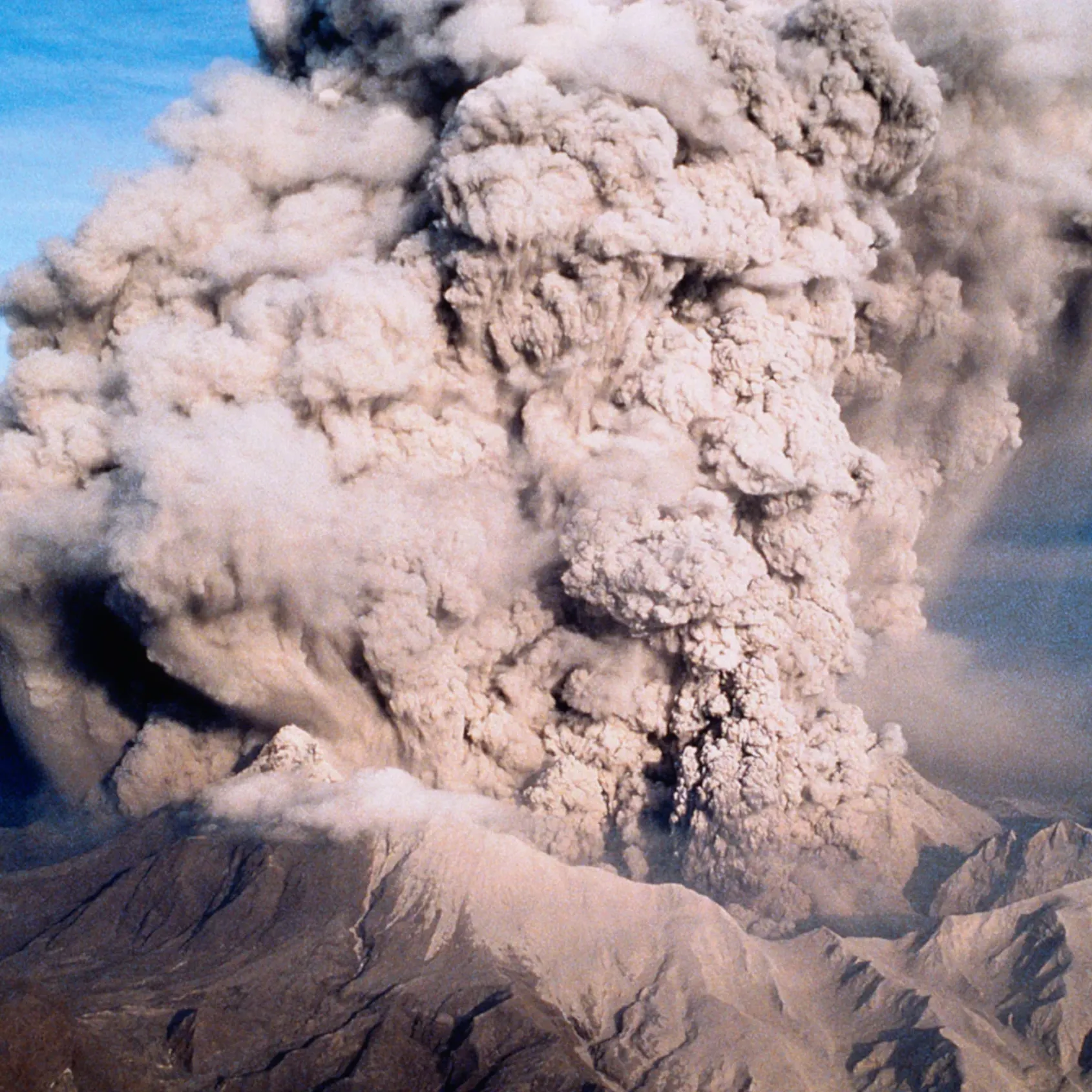



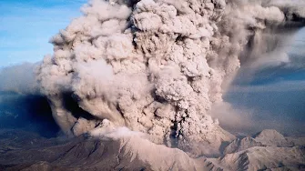
When disaster hits, reliable communication helps keep communities safe. After the Taal Volcano eruption, the waze map editor community provided an interactive way for locals to see road closures, navigate out of evacuation areas, and find shelters and donation centers.
Through a community-centered crisis response, this initiative achieved key objectives to:
Inspired after seeing donation centers on the waze map, corporate partners like McDonald’s joined the effort by accepting donations at 99 stores—making it easier for people to contribute to those in need. Using the app, locals could search for, navigate to, or get detailed information about any of the 109 total centers established.
- Provide real-time mapping for road closures and evacuation zones.
- Map essential services, emergency shelters, and relief donation centers.
- Enable government and private partners to communicate updates and resources directly to drivers.
Inspired after seeing donation centers on the waze map, corporate partners like McDonald’s joined the effort by accepting donations at 99 stores—making it easier for people to contribute to those in need. Using the app, locals could search for, navigate to, or get detailed information about any of the 109 total centers established.