



HIGHWAY SAFETY

Improving Highway Safety:
How DER-MG Leverages Real-Time Data

2-MIN READ

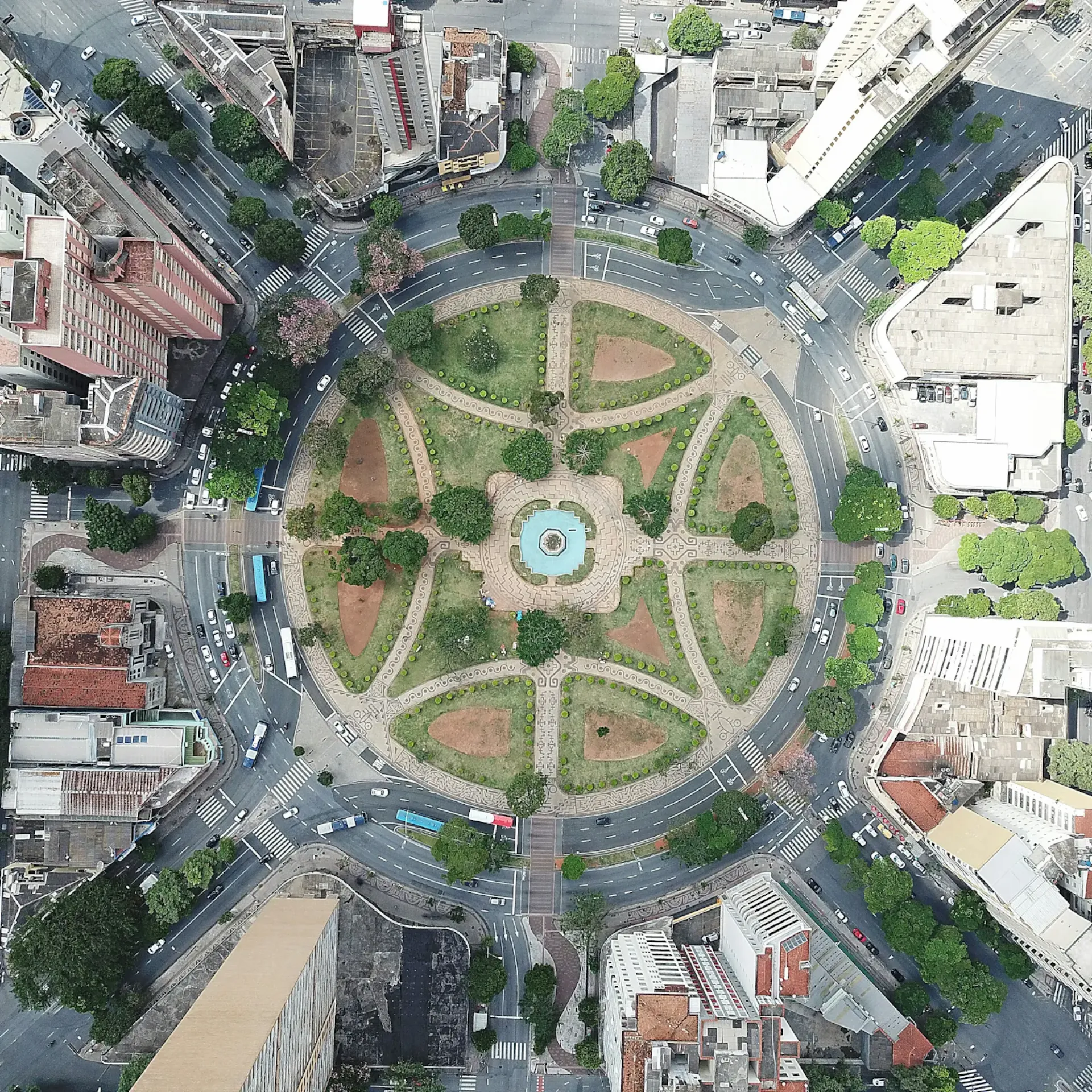
Aerial top-down view of an urban traffic roundabout for the DER-MG Minas Gerais Waze highway safety case study

How the Department of Highways of Minas Gerais uses real-time data to proactively address hazards, optimize road maintenance, and keep drivers informed across a vast state road network.

How can a vast state with an extensive highway network proactively identify and mitigate road hazards? How can real-time data be used to improve road maintenance and provide timely information to drivers?

Seeking to enhance road safety and efficiency, the Department of Highways of Minas Gerais (DER-MG) partnered with Waze for Cities. Our collaboration helped the department achieve its key objectives to:

  • Proactively identify and address dangerous highway areas.
  • Utilize real-time data for targeted road maintenance and improvements.
  • Provide drivers with timely information on traffic conditions and hazards.
  • Improve overall highway safety and convenience.

By integrating real-time data and mapping technology, DER-MG has revolutionized its approach to highway safety, developing a proactive system that anticipates and addresses potential hazards to ensure safer and more efficient travel for all drivers.
"By integrating real-time data and mapping technology, DER-MG has revolutionized its approach to highway safety. They have developed a proactive system that anticipates and addresses potential hazards, ensuring safer and more efficient travel for all drivers."

Impact:

By collaborating with Waze for Cities, DER-MG achieved significant improvements in highway safety and driver communication. To enhance the state's highway network and protect its drivers, the department:

Key Results Checklist:

  • Developed a new system that uses maps and real-time data to identify and address dangerous areas on highways, preventing potential accidents.
  • Utilized waze data to share real-time information with drivers about traffic jams, accidents, and other road conditions, enabling informed decision-making.
  • Implemented targeted road maintenance and improvements based on identified hazards, improving overall highway safety.
  • Enhanced driver convenience by providing up-to-date traffic and road condition information, reducing travel times and improving safety.

JOIN THE RIDE

The companion that gets you - and gets you there. The companion that gets you - And gets you there.
Download waze. Download waze.